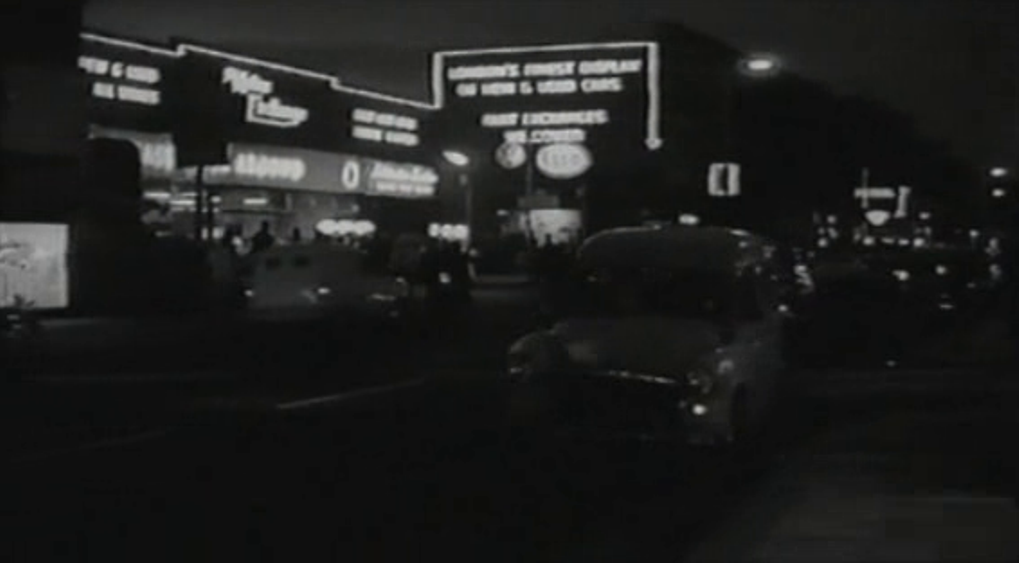
The ABC Bowling Centre was at 829 High Road Leytonstone:
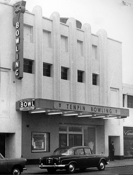
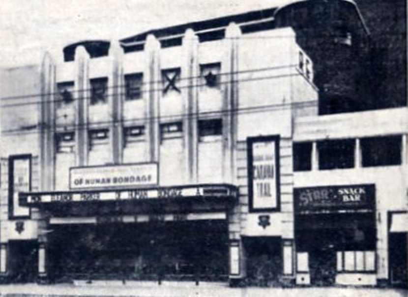
Before conversion in 1960 this was the Rex Cinema, built in 1936 - another of W.R. Glen's creations for Associated British Cinemas:
(For an example of Glen's work for ABC to which I am more particularly attached, see here.)
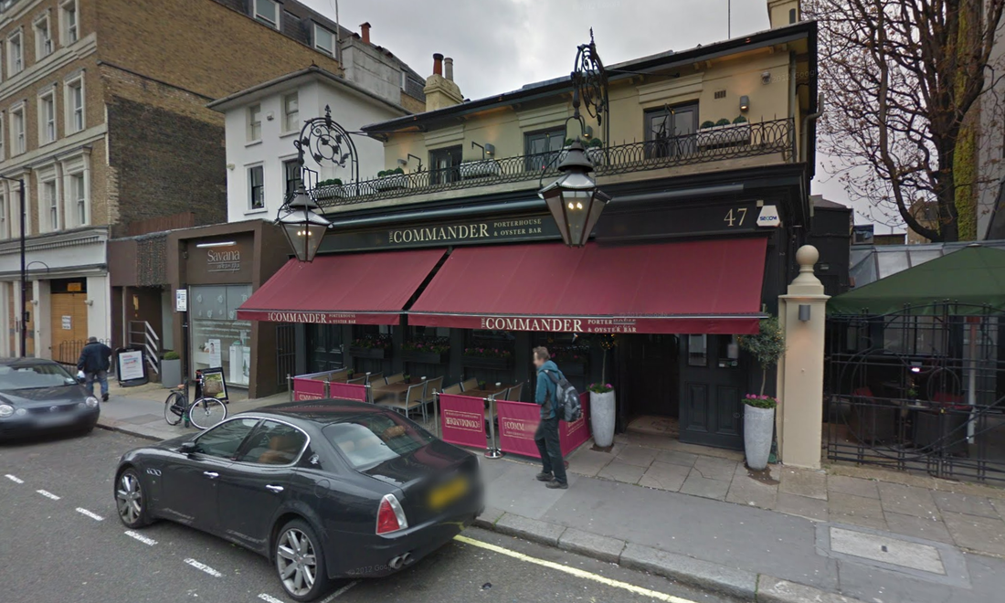
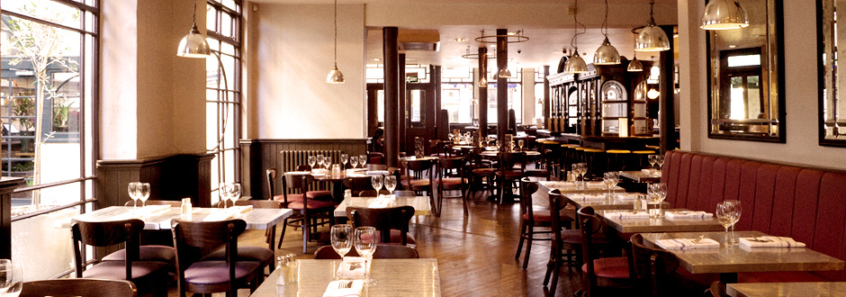
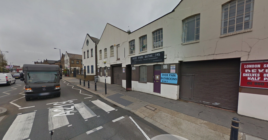
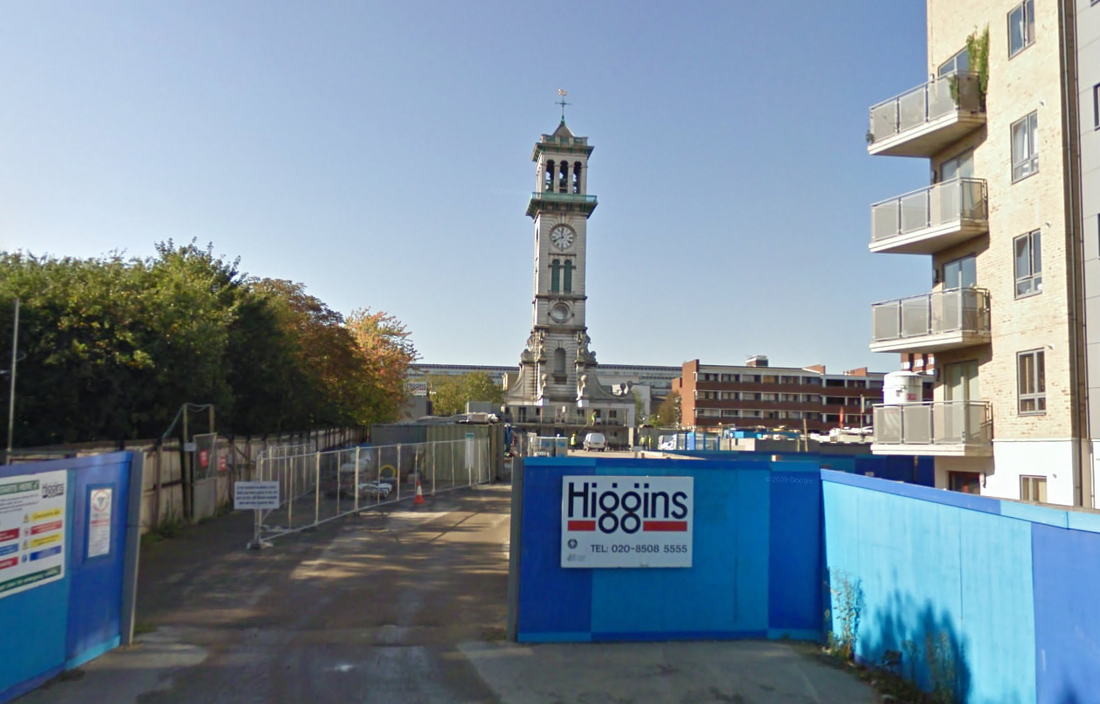
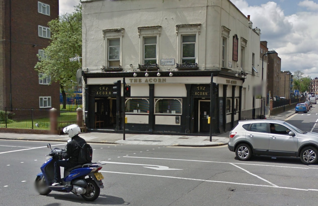
The building was demolished after the bowling centre closed in 1972, and in its place stands this:
The building was demolished after the bowling centre closed in 1972, and in its place stands this:
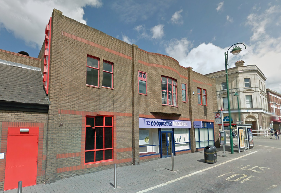
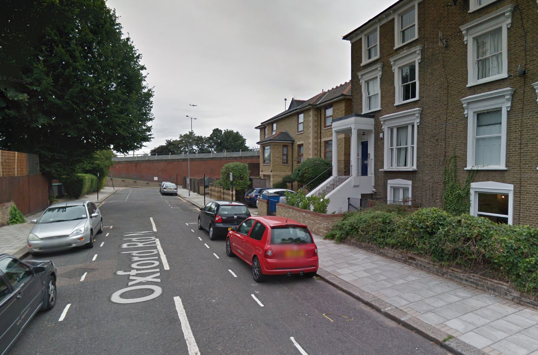
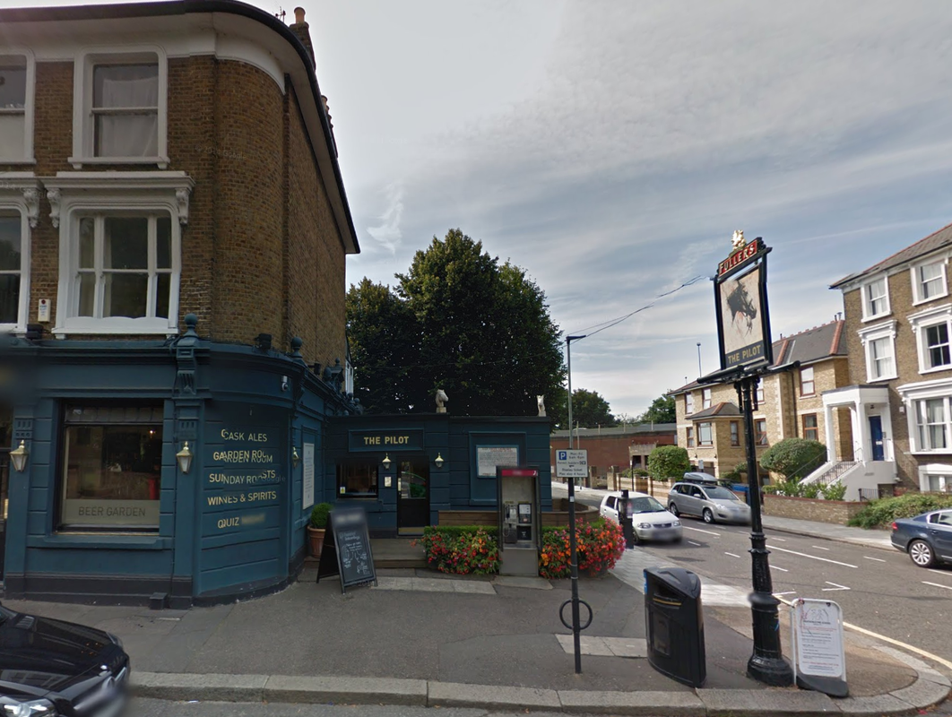
Google Street View July 2014
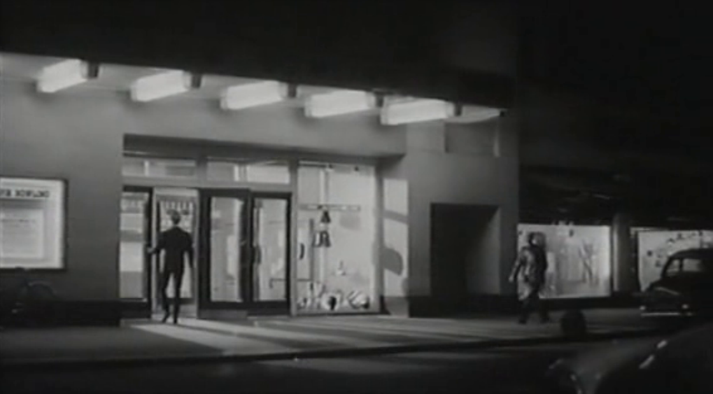
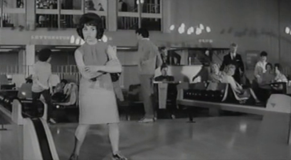
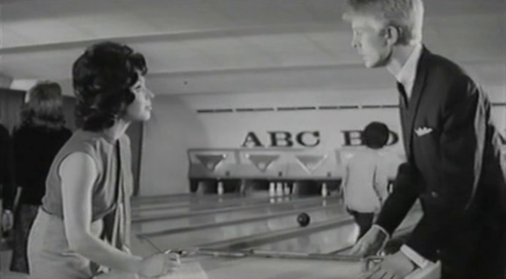
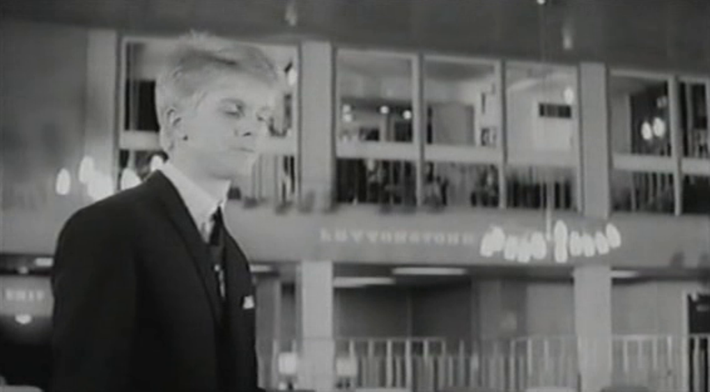
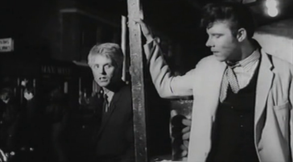
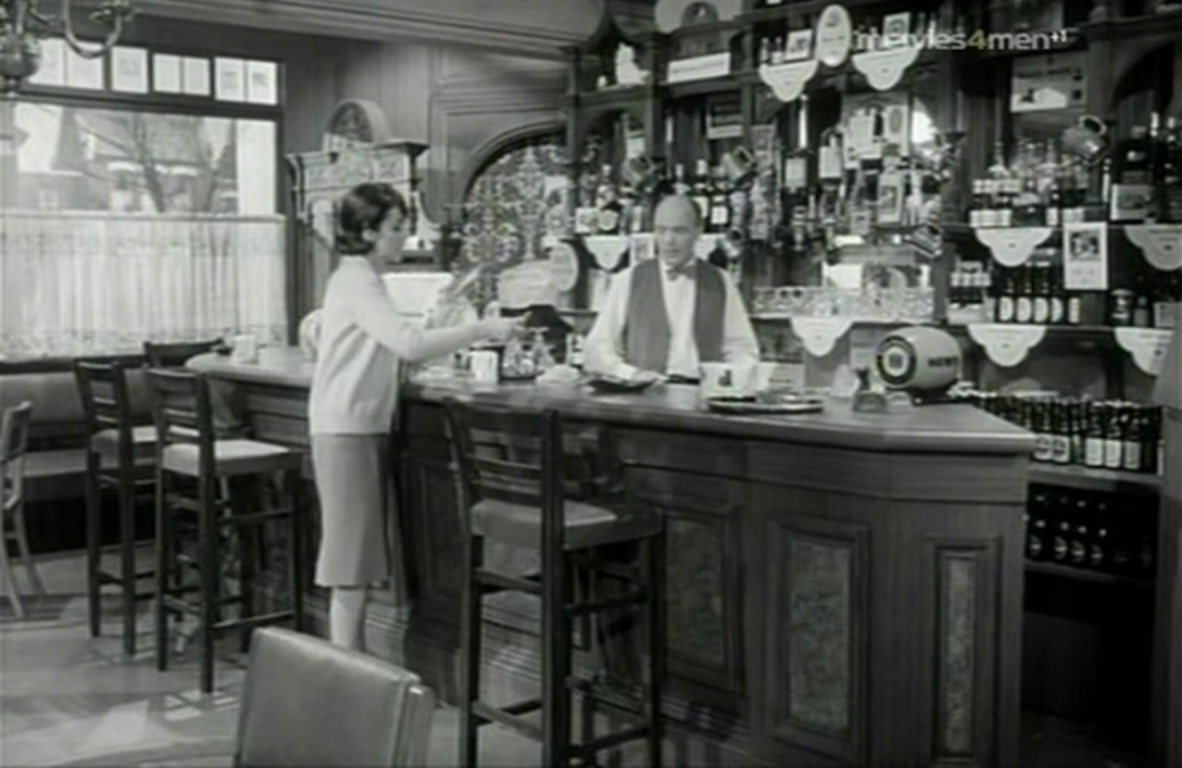
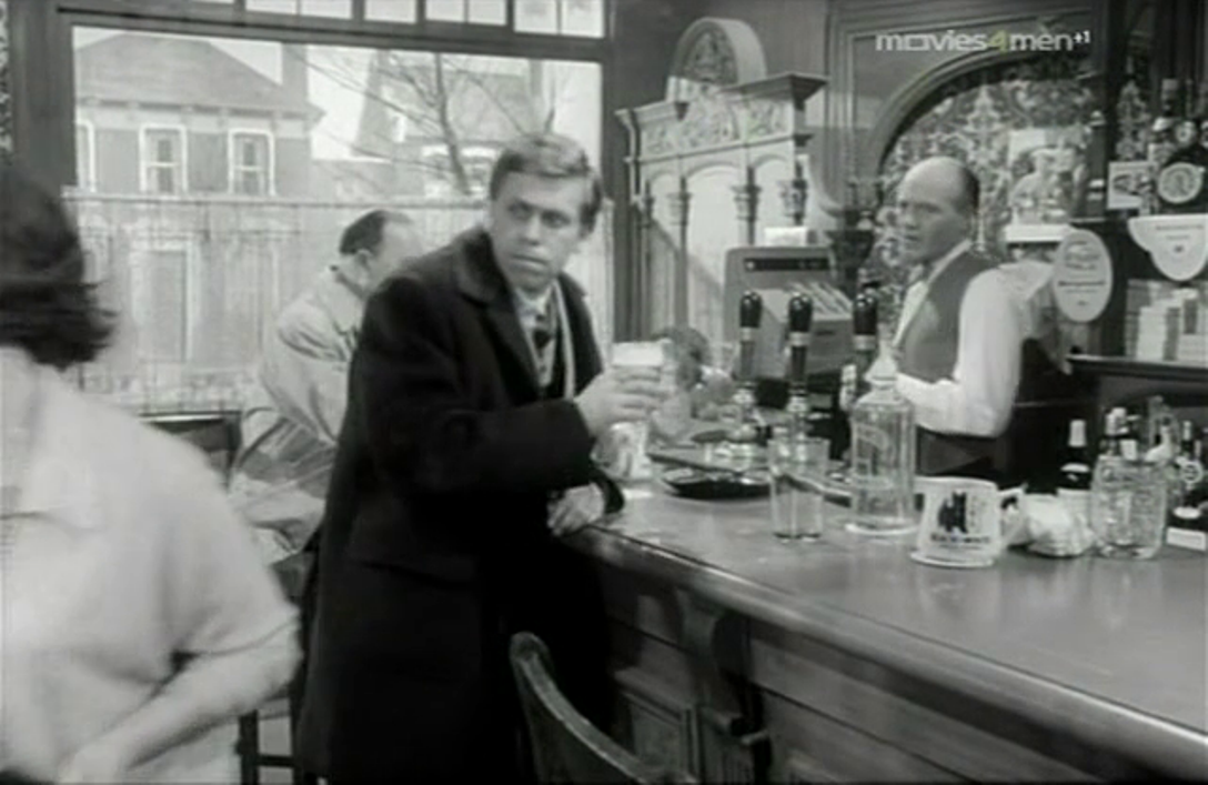
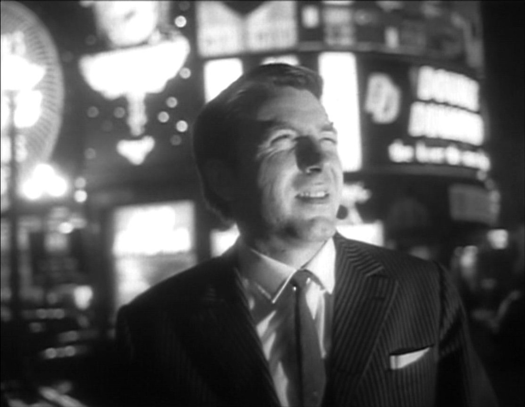
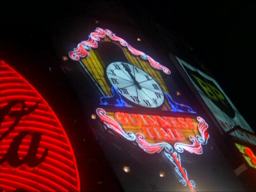
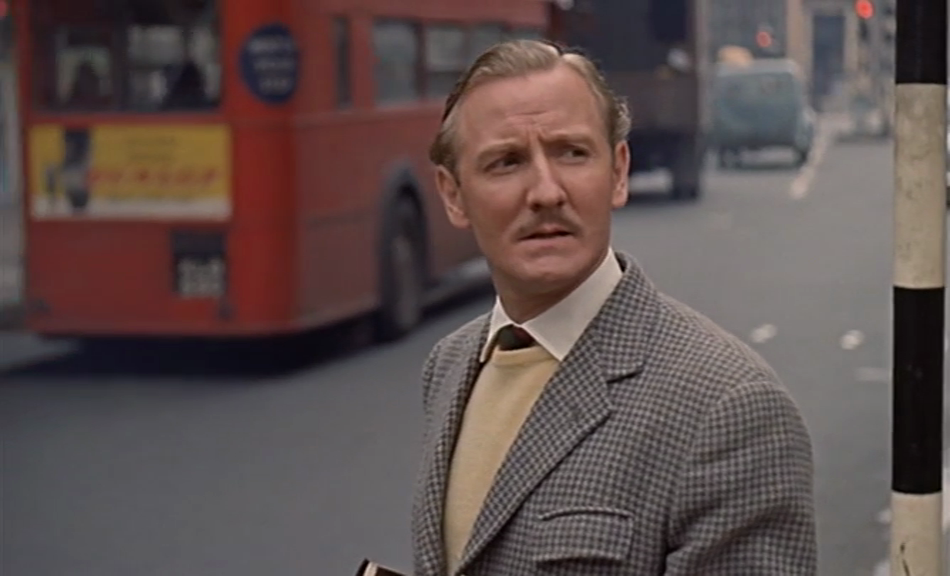
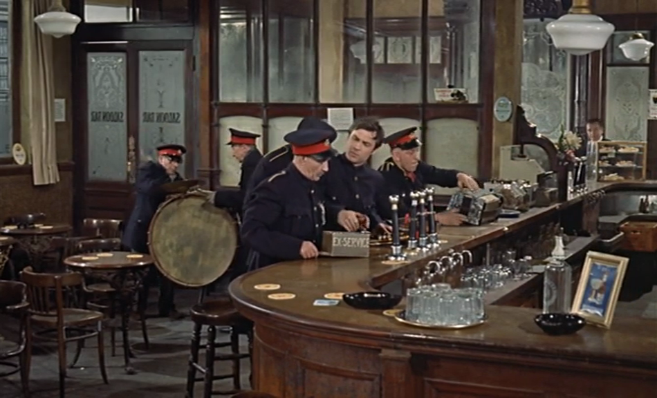
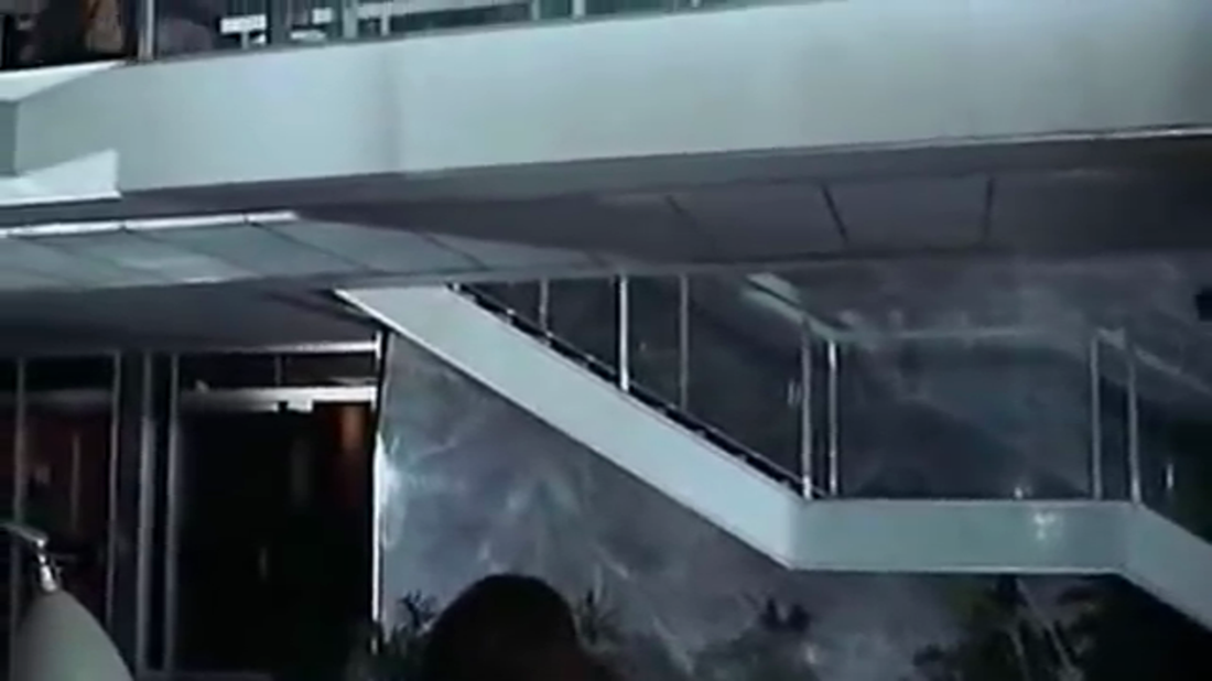
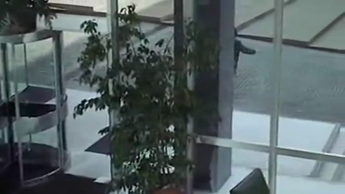
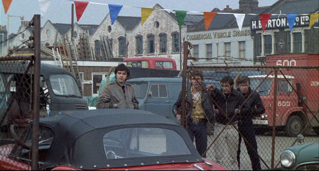
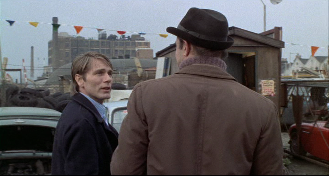
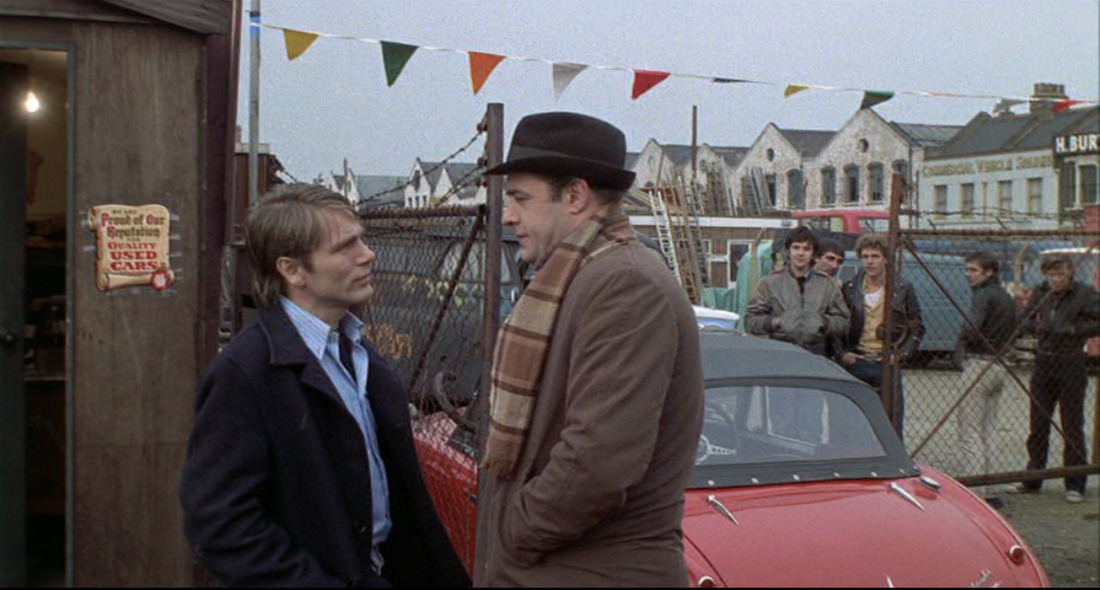
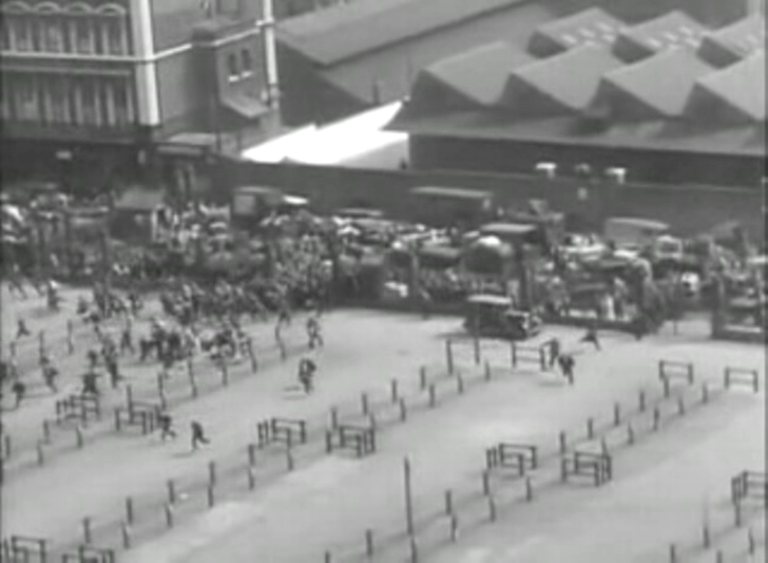
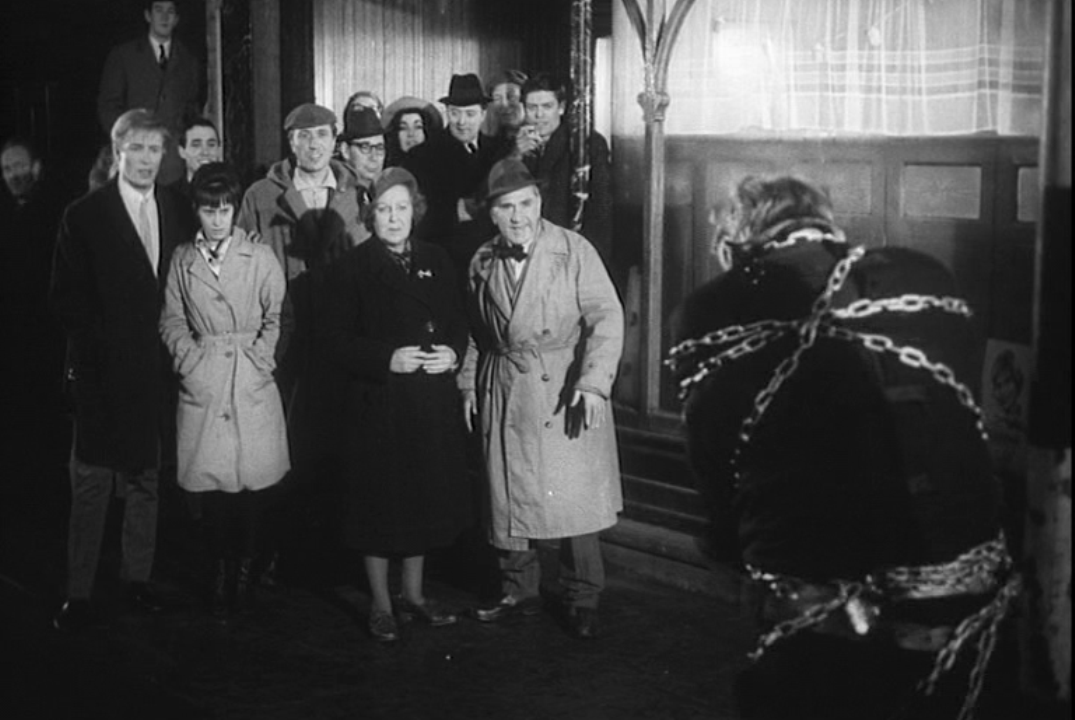
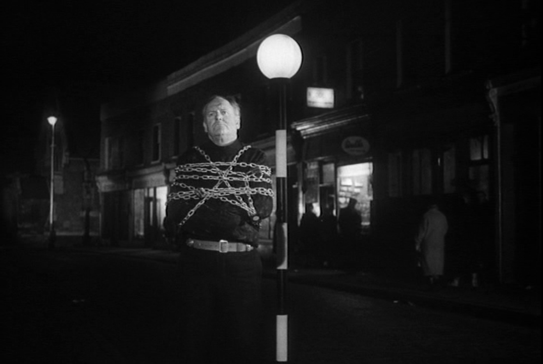
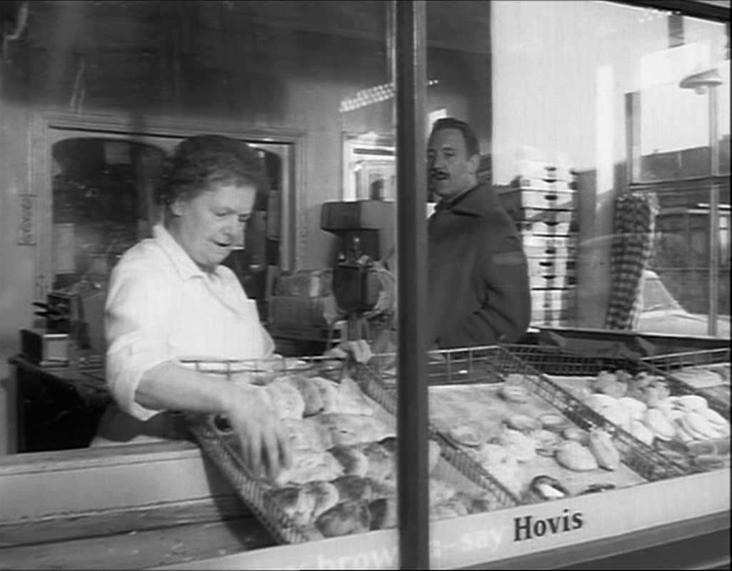
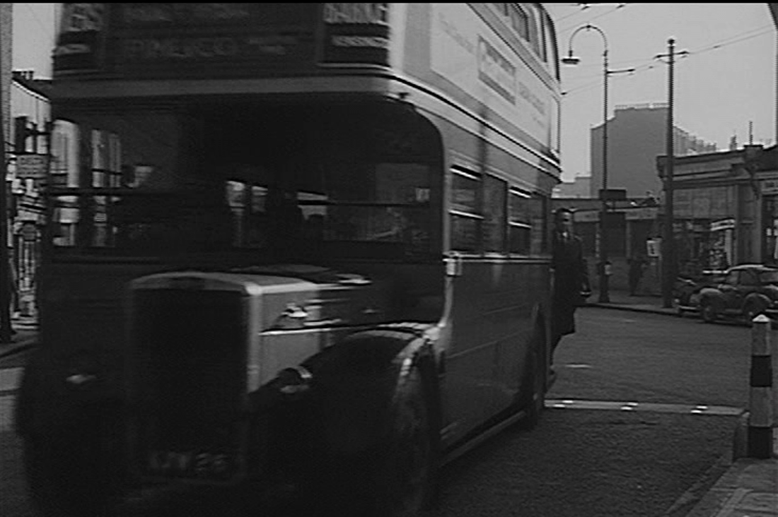
What A Crazy World shows the interior of the bowling alley:
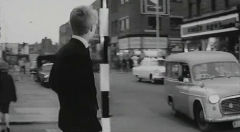
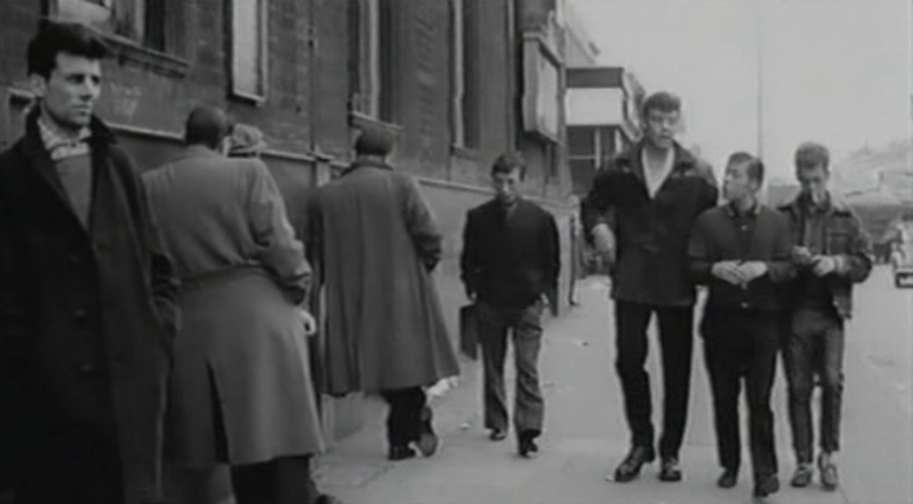
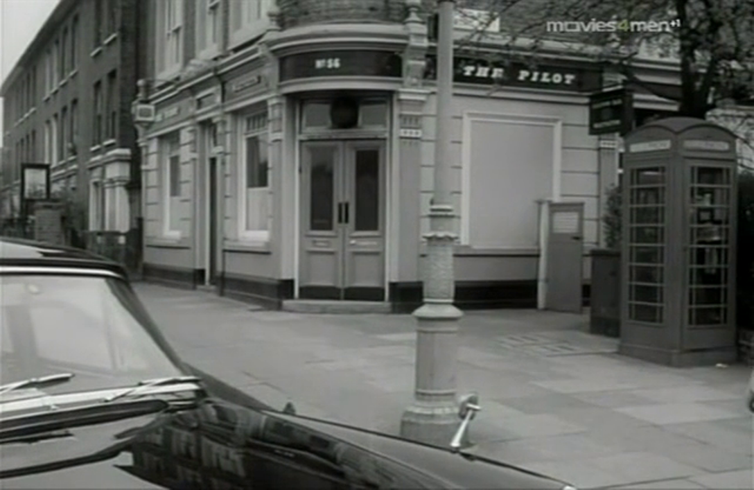
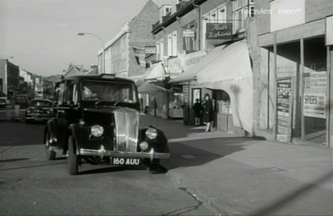
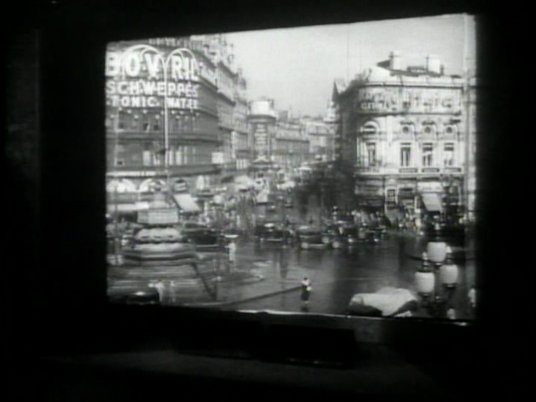
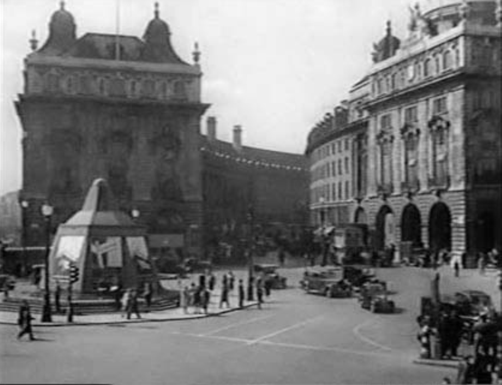
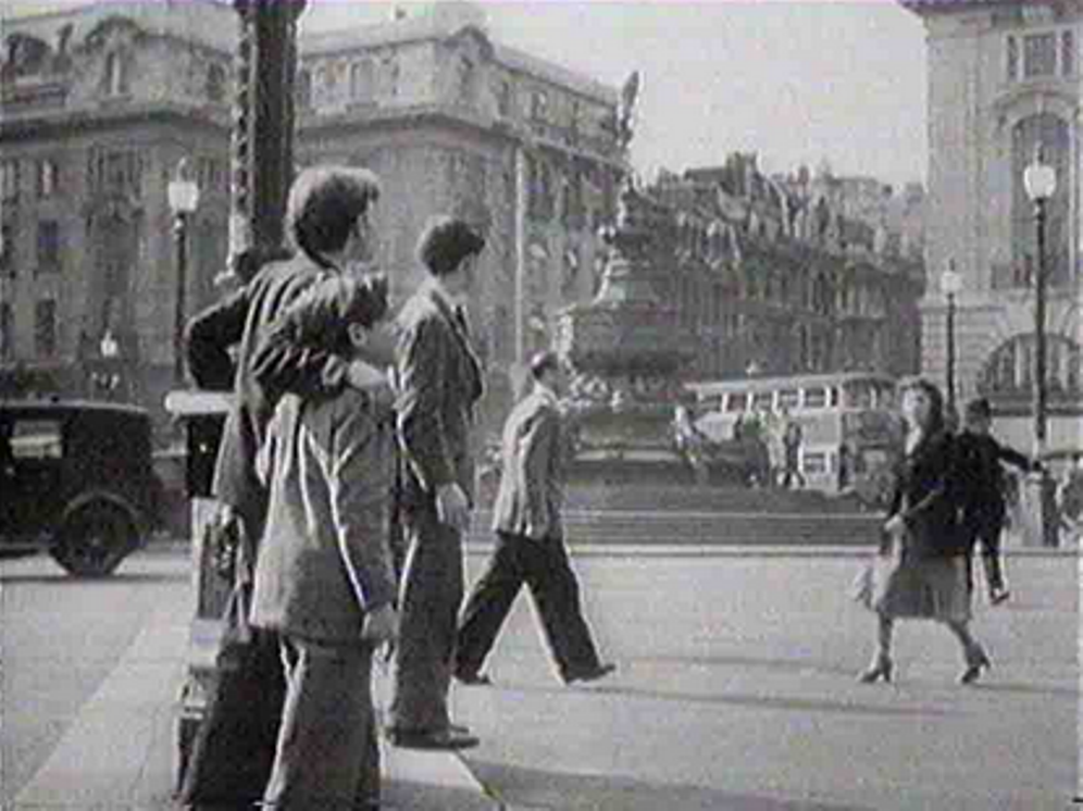
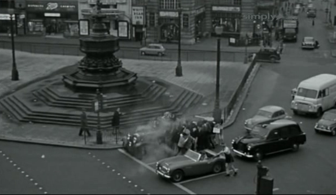
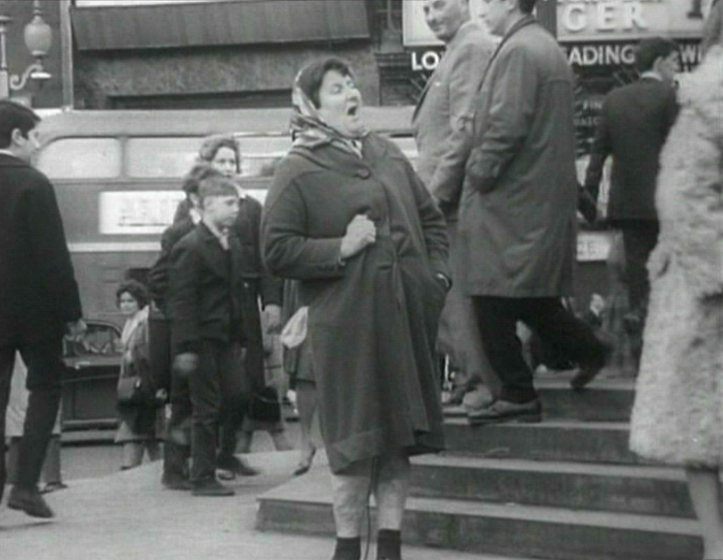
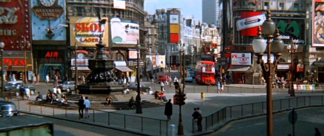
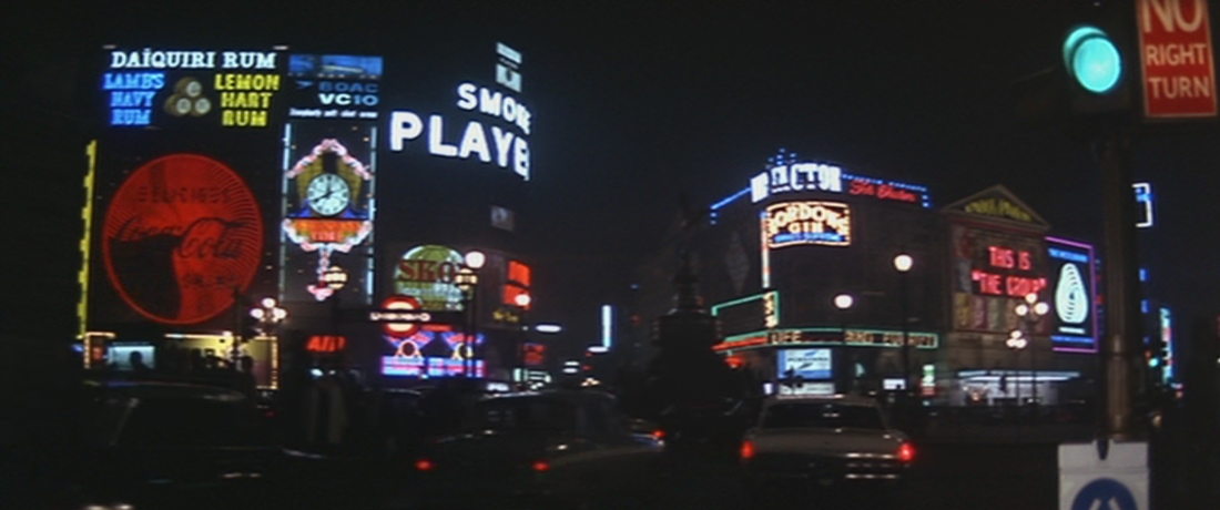
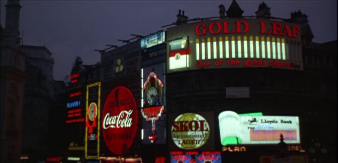
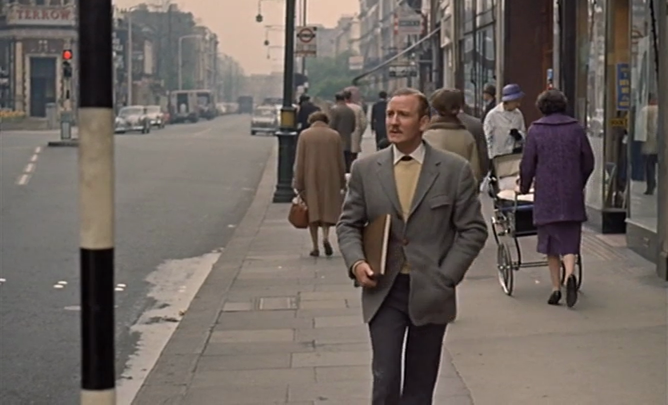
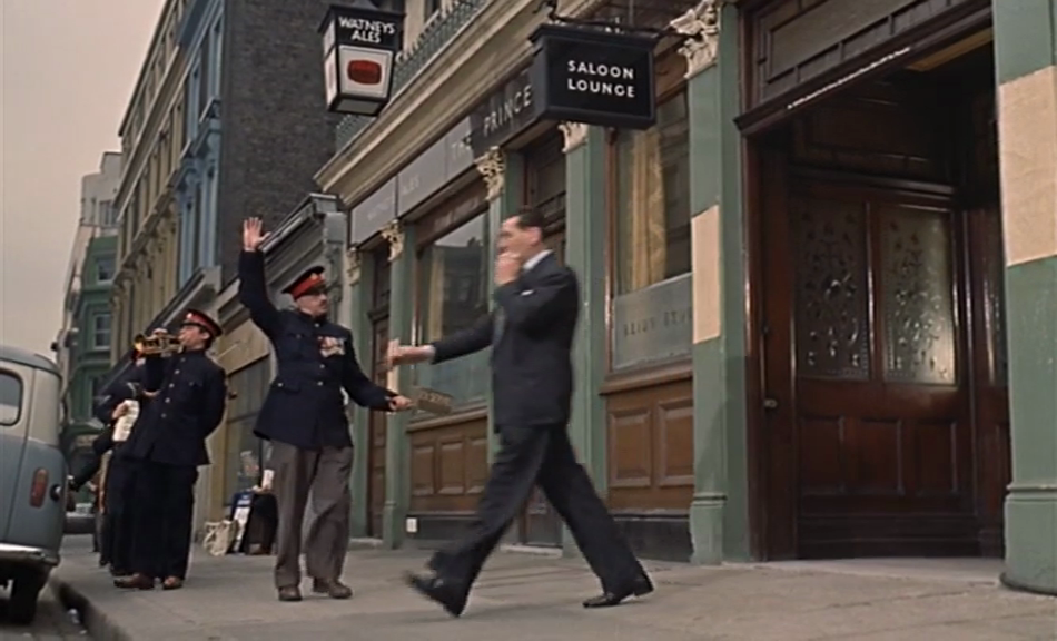
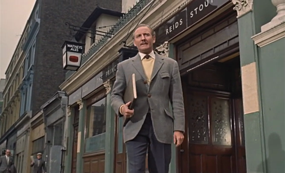
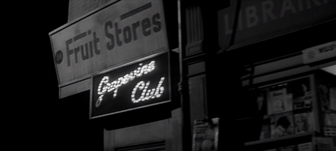
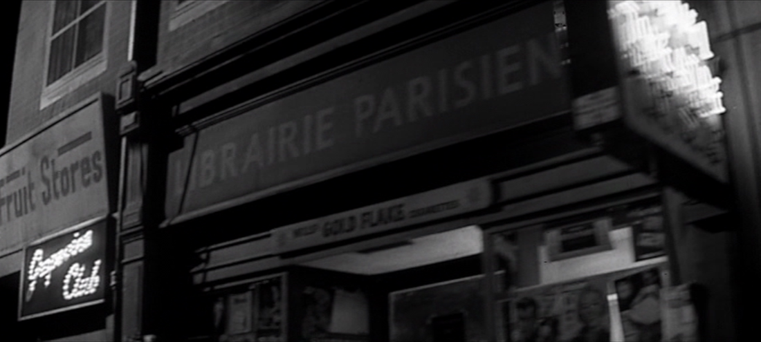
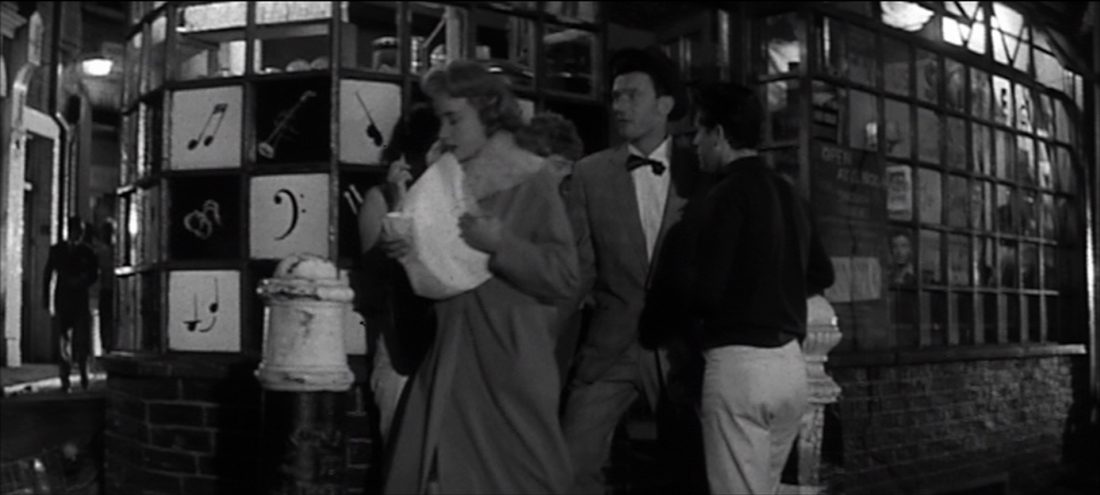
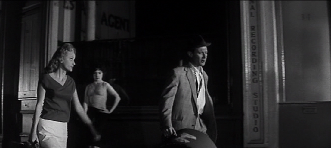
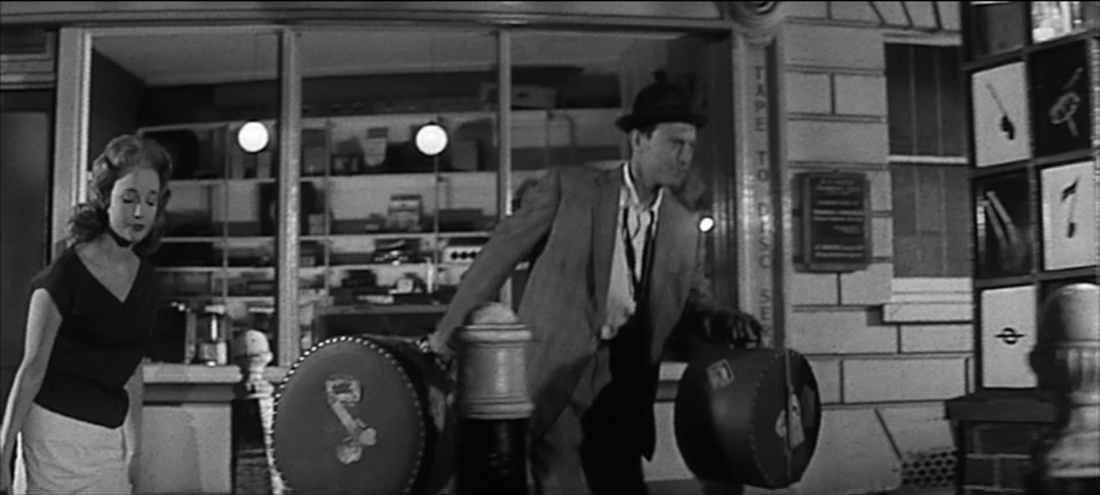
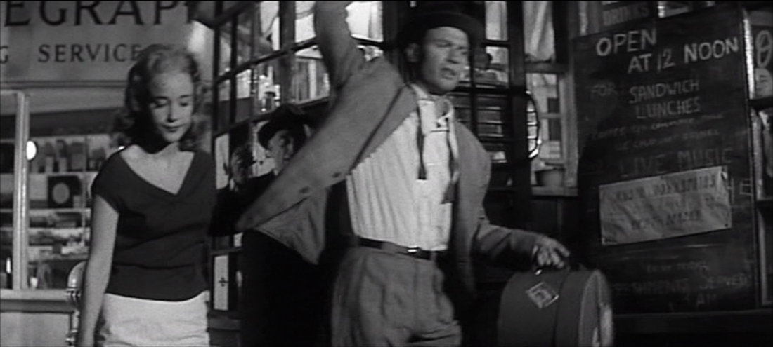
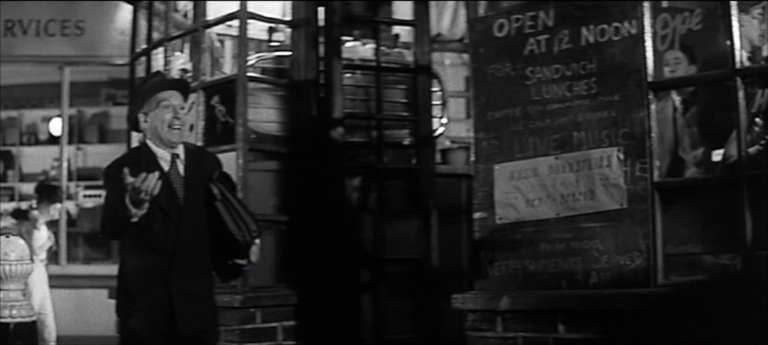
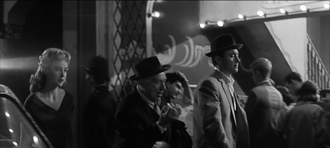
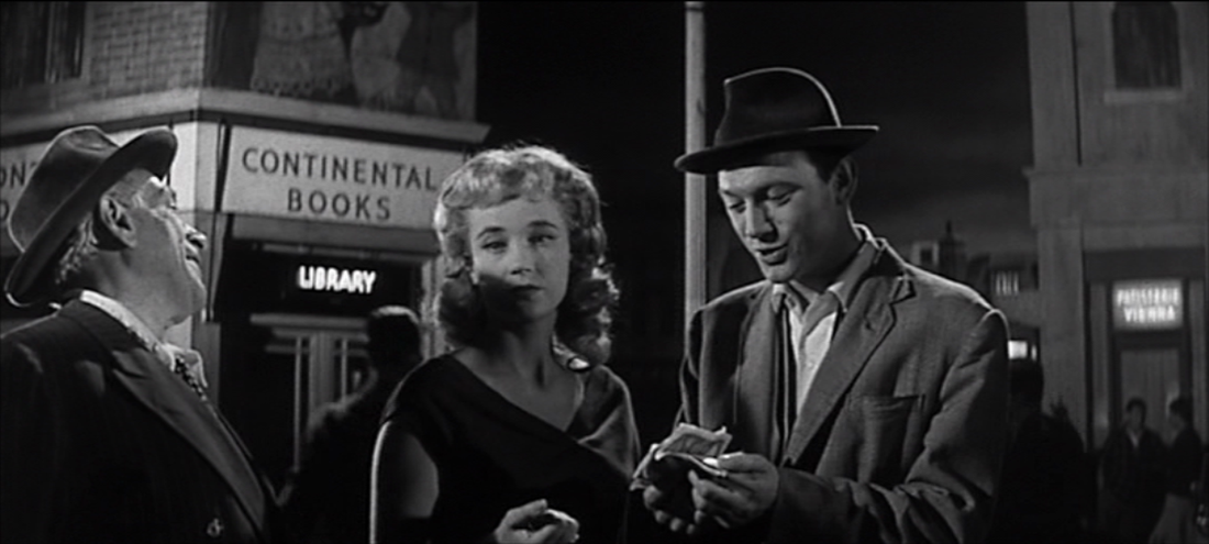
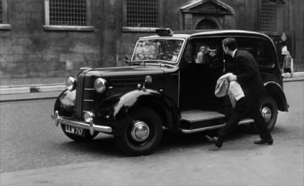
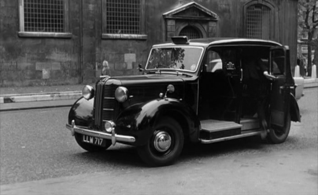
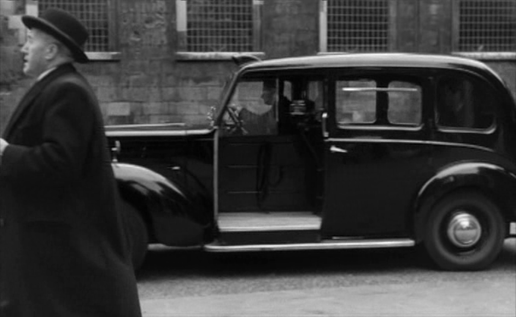
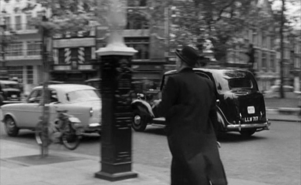
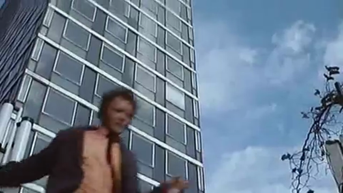
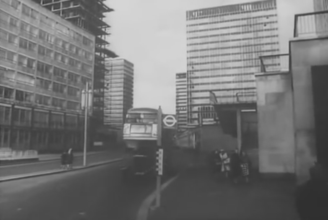
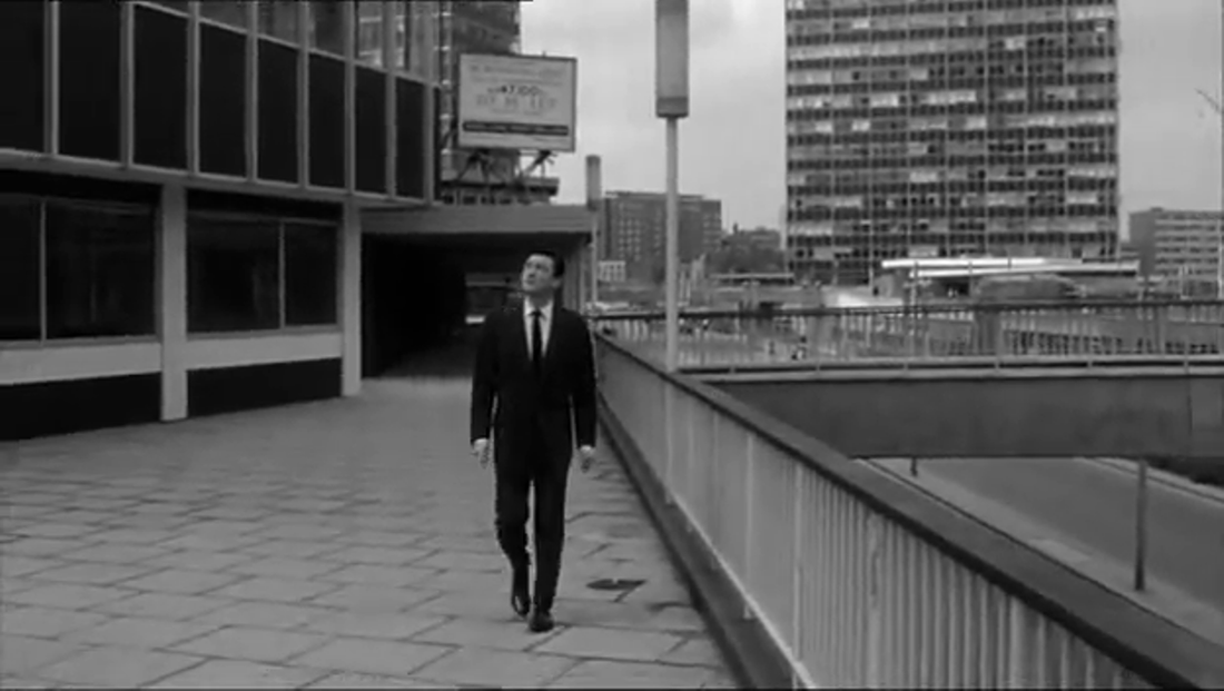
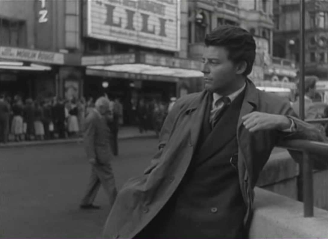
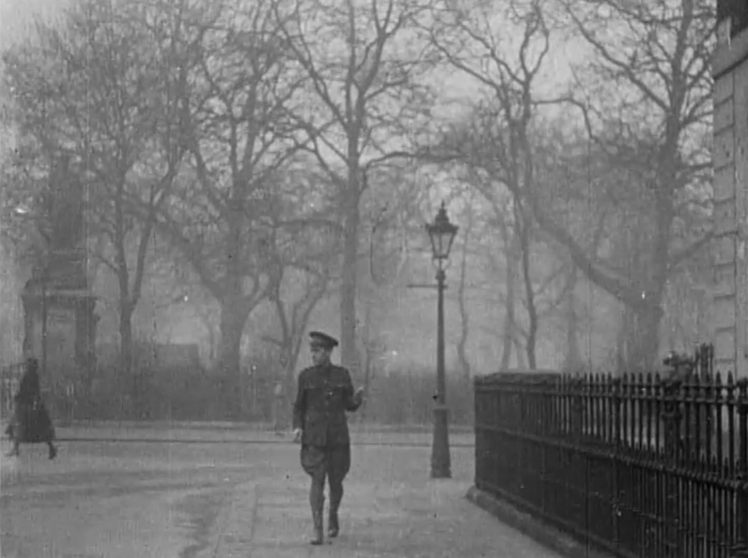
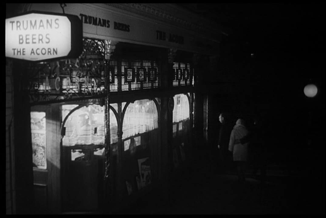
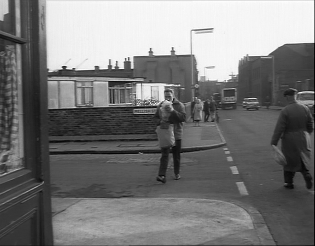
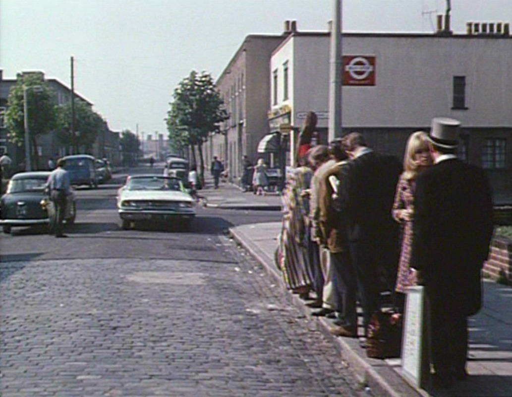
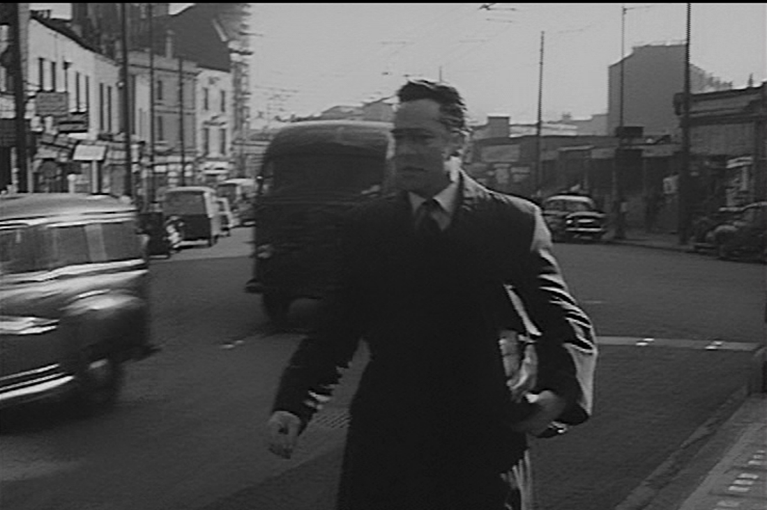
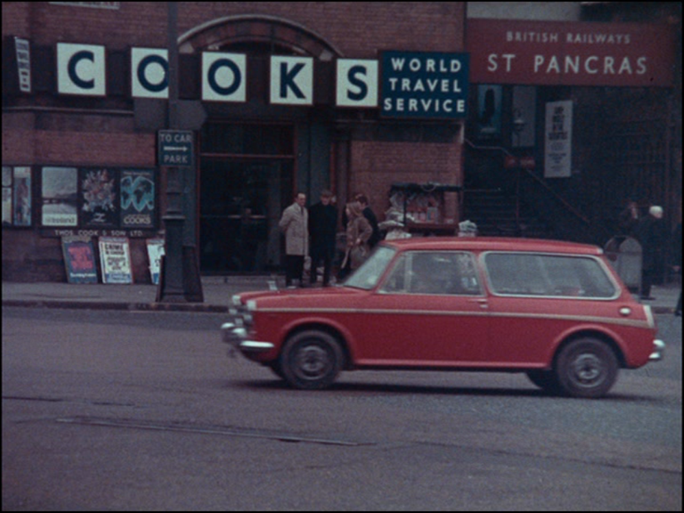
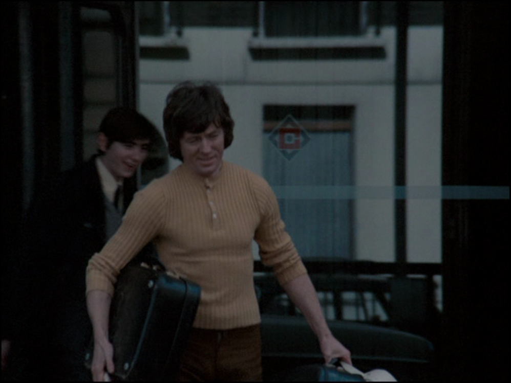
Another of the film's locations is a few miles south of Leytonstone, around the Theatre Royal on Angel Lane, Stratford (we see posters for Oh What A Lovely War):
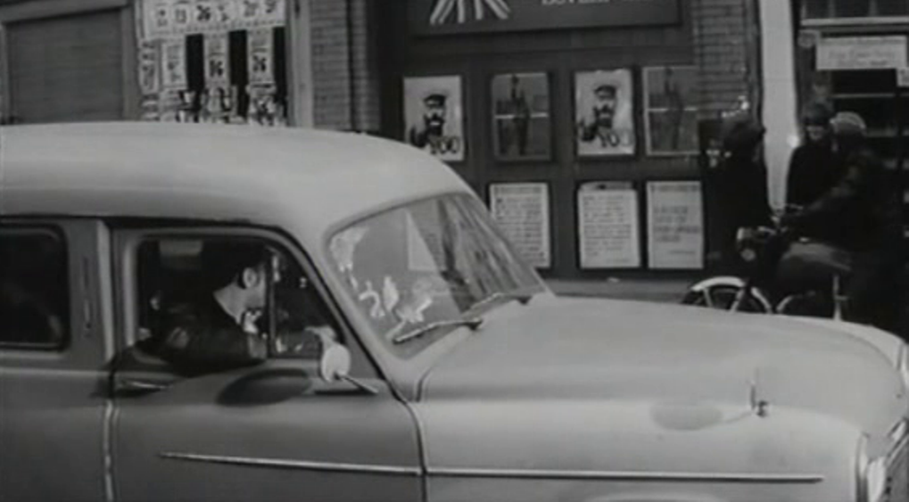
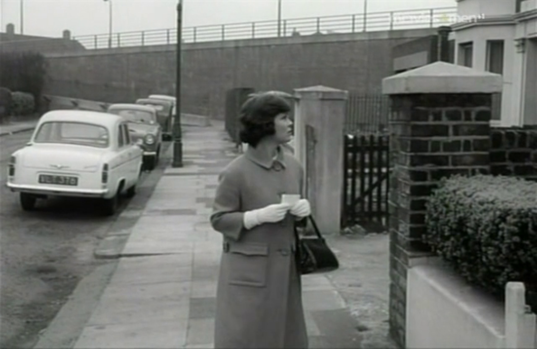
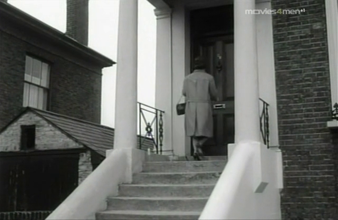
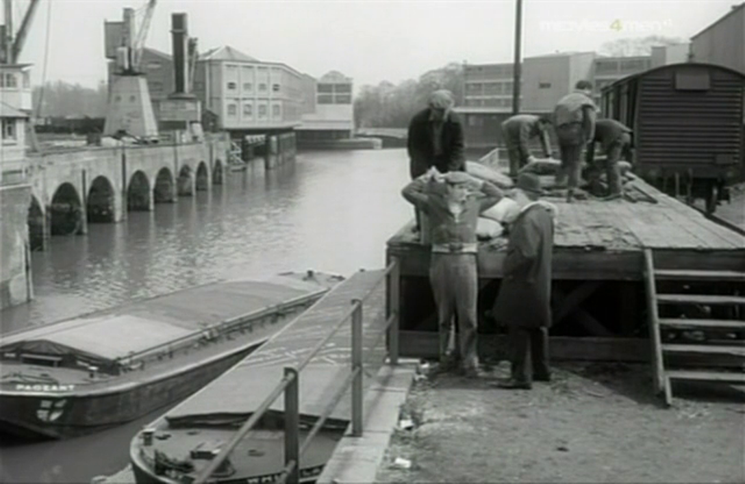
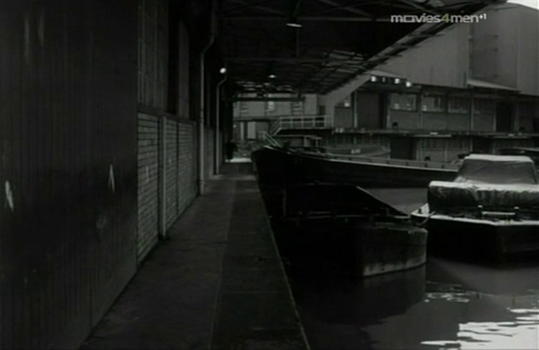
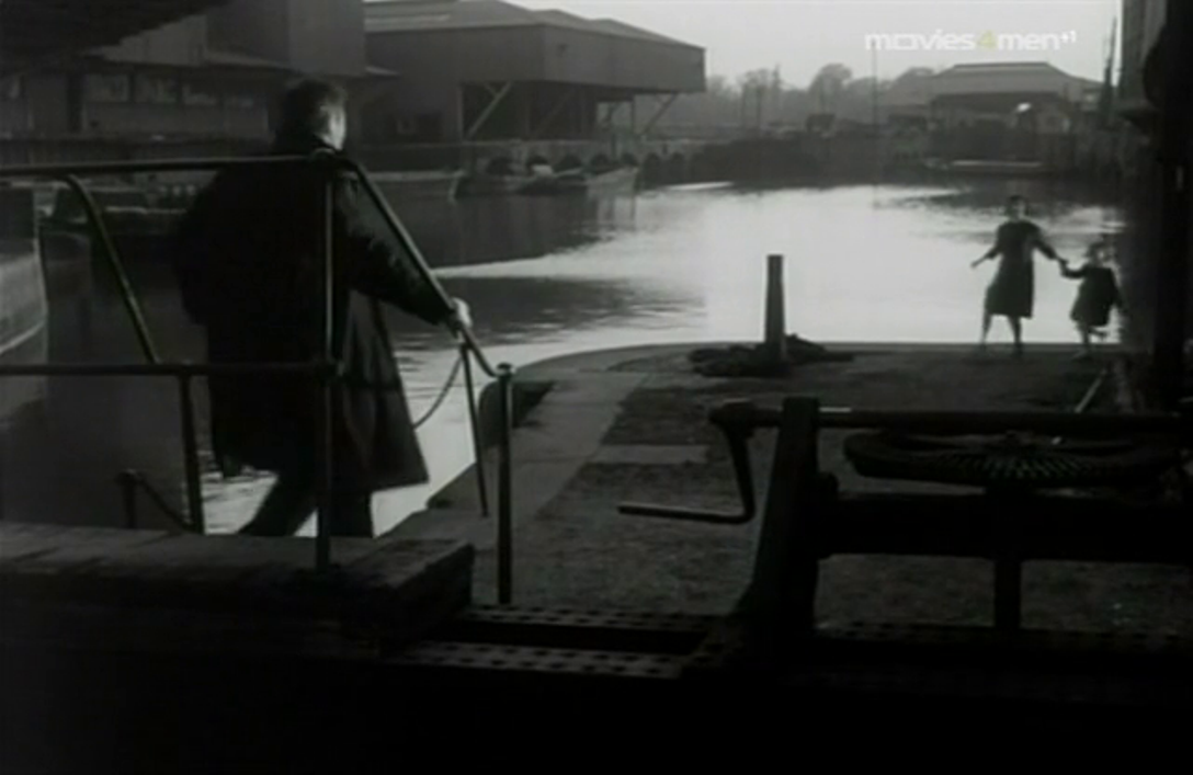
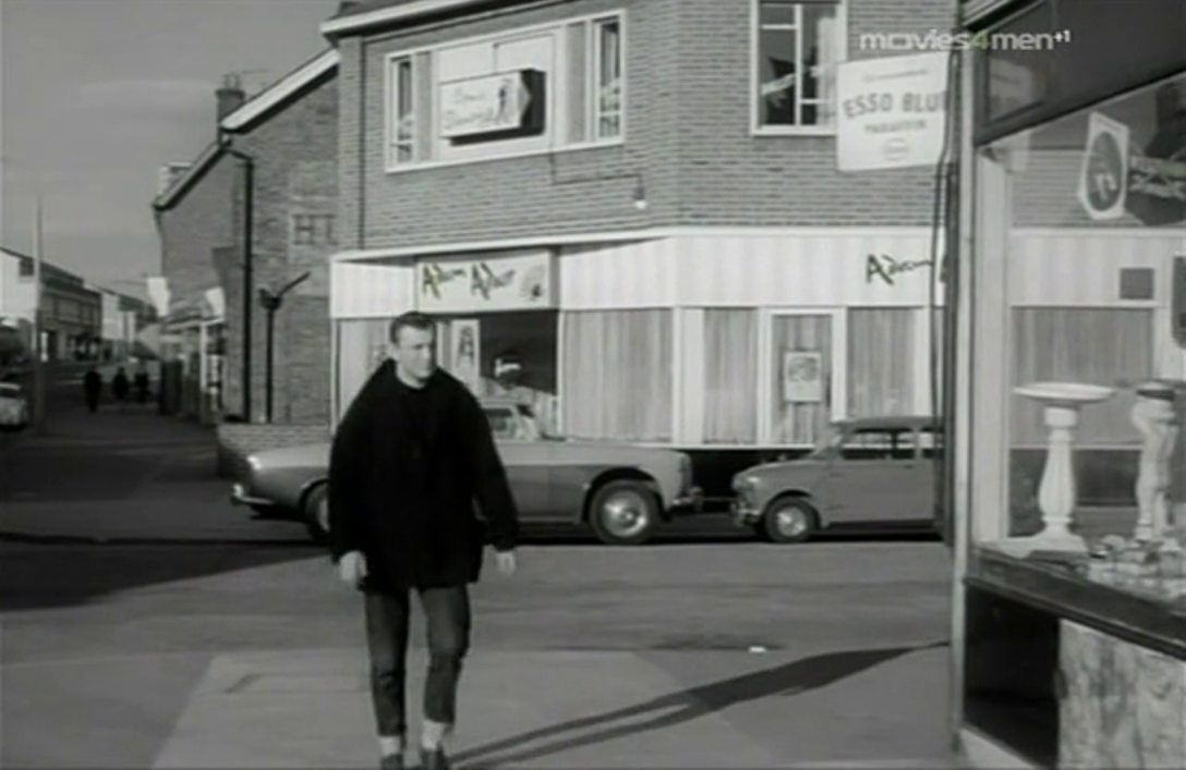
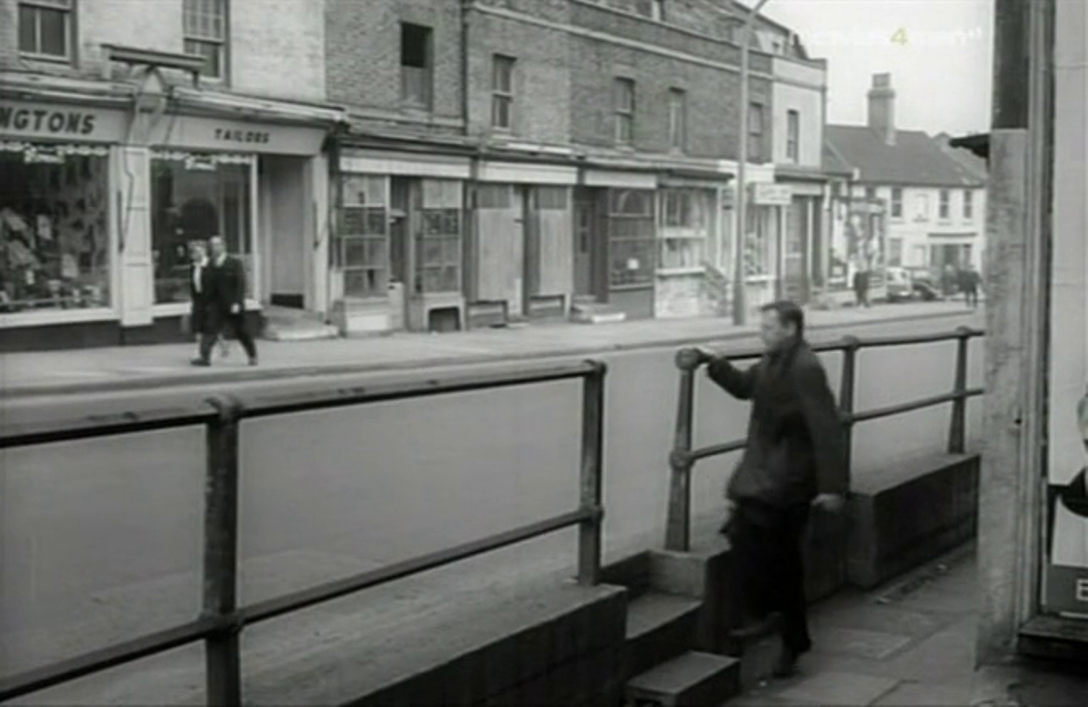
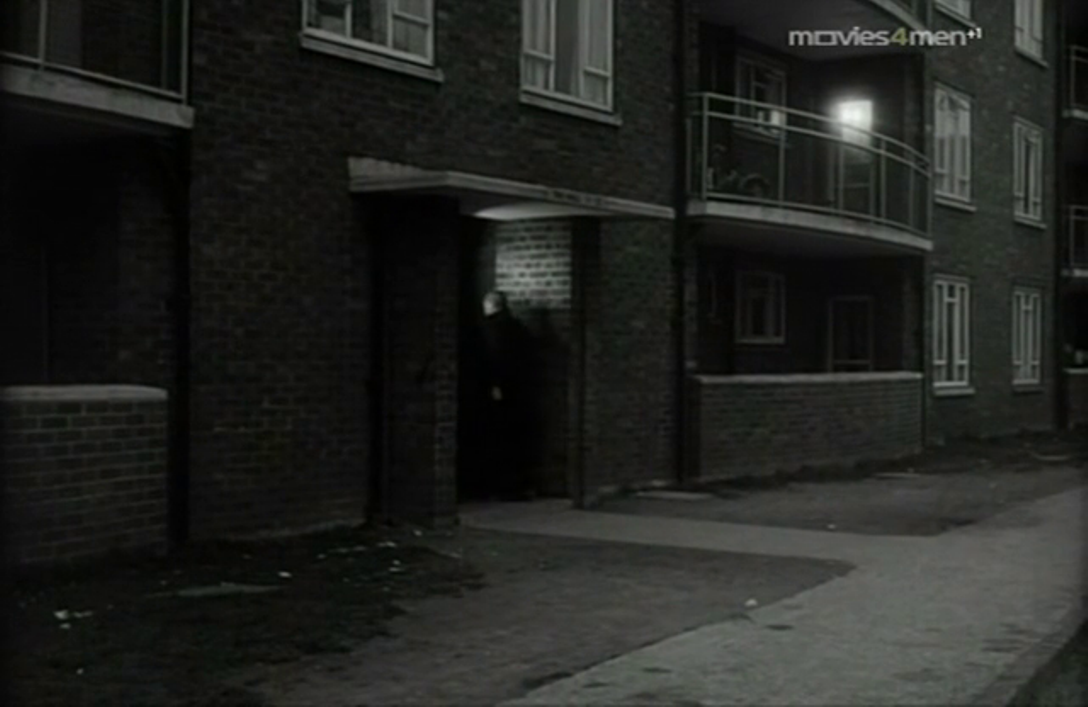
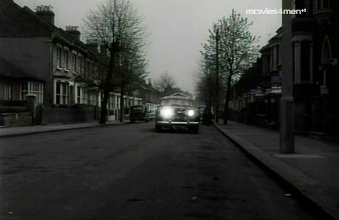
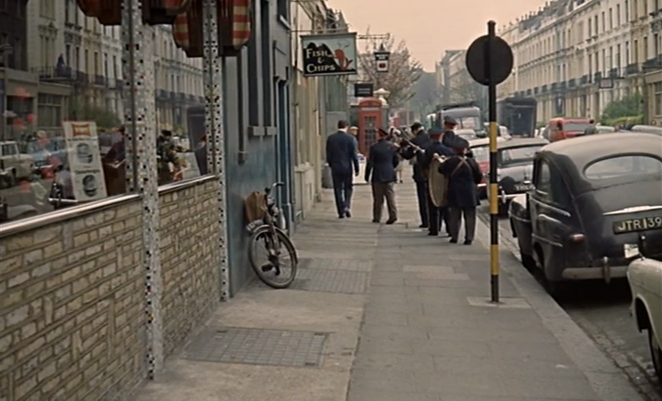
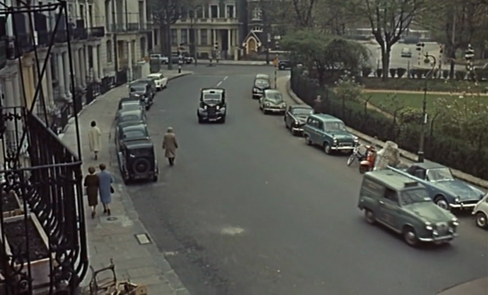
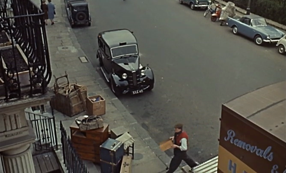
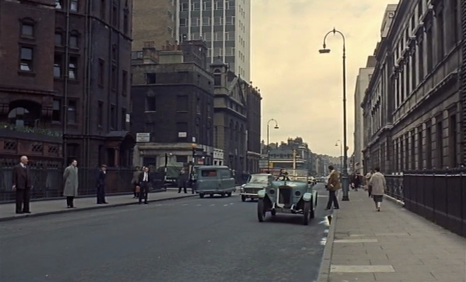
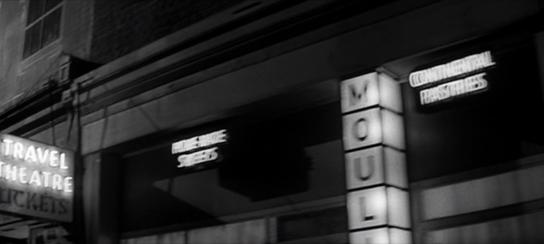
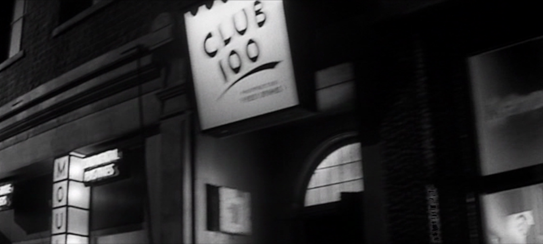
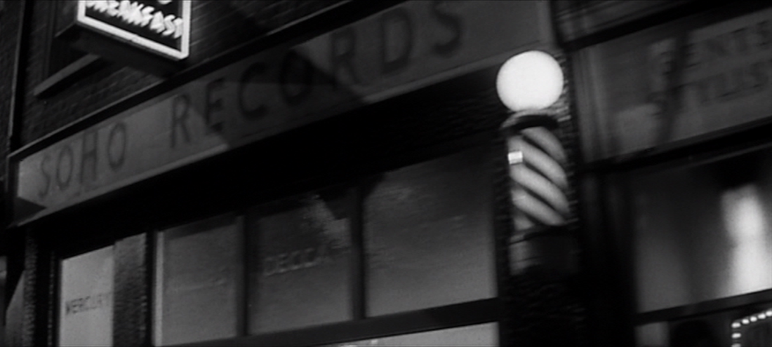
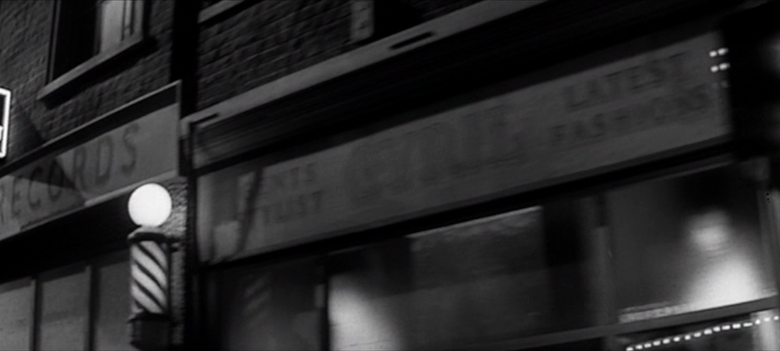
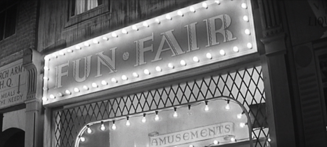
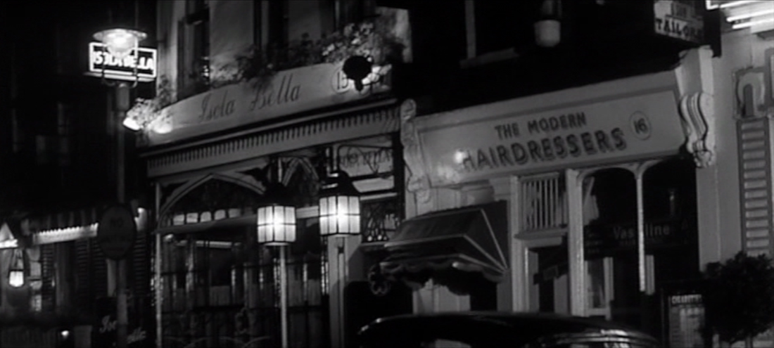
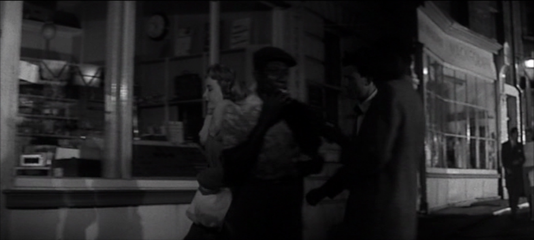
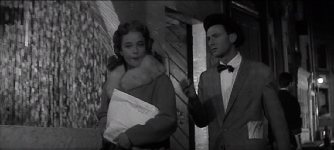
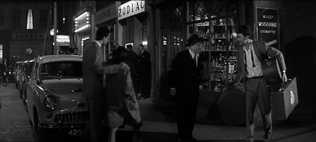
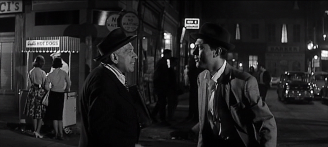
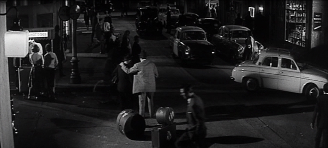
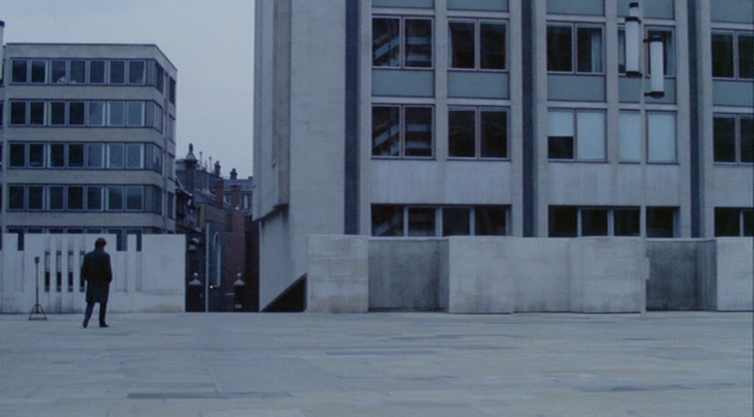
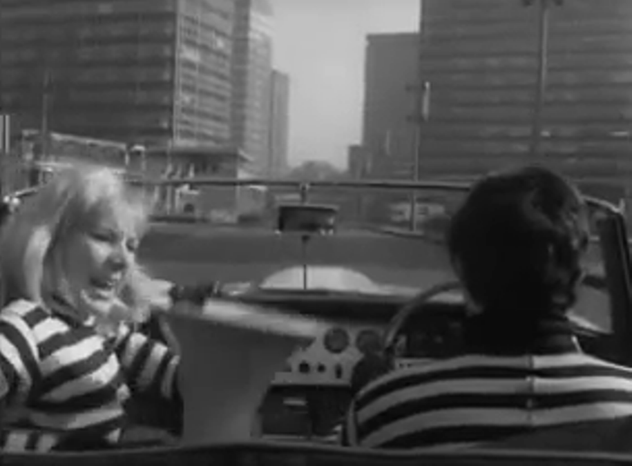
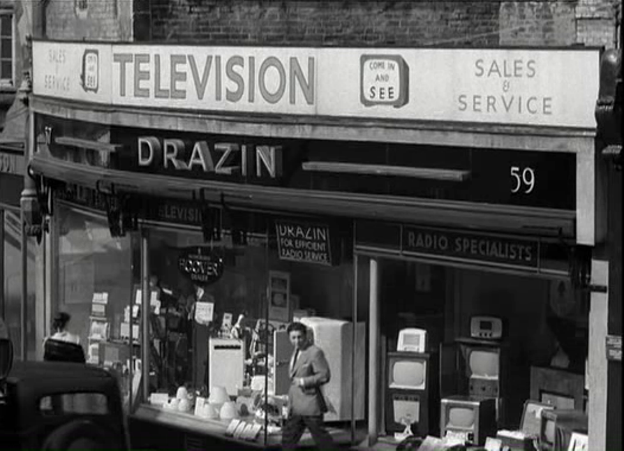
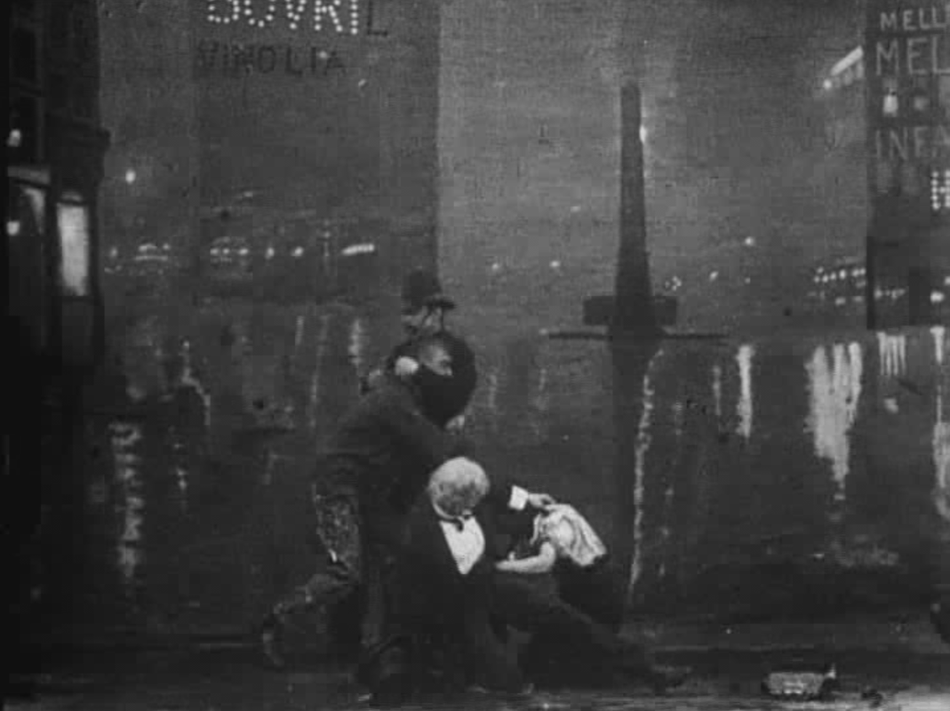
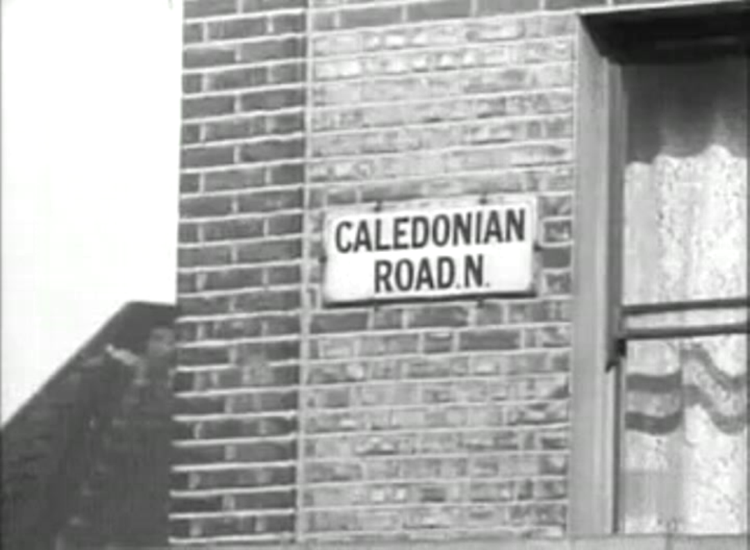
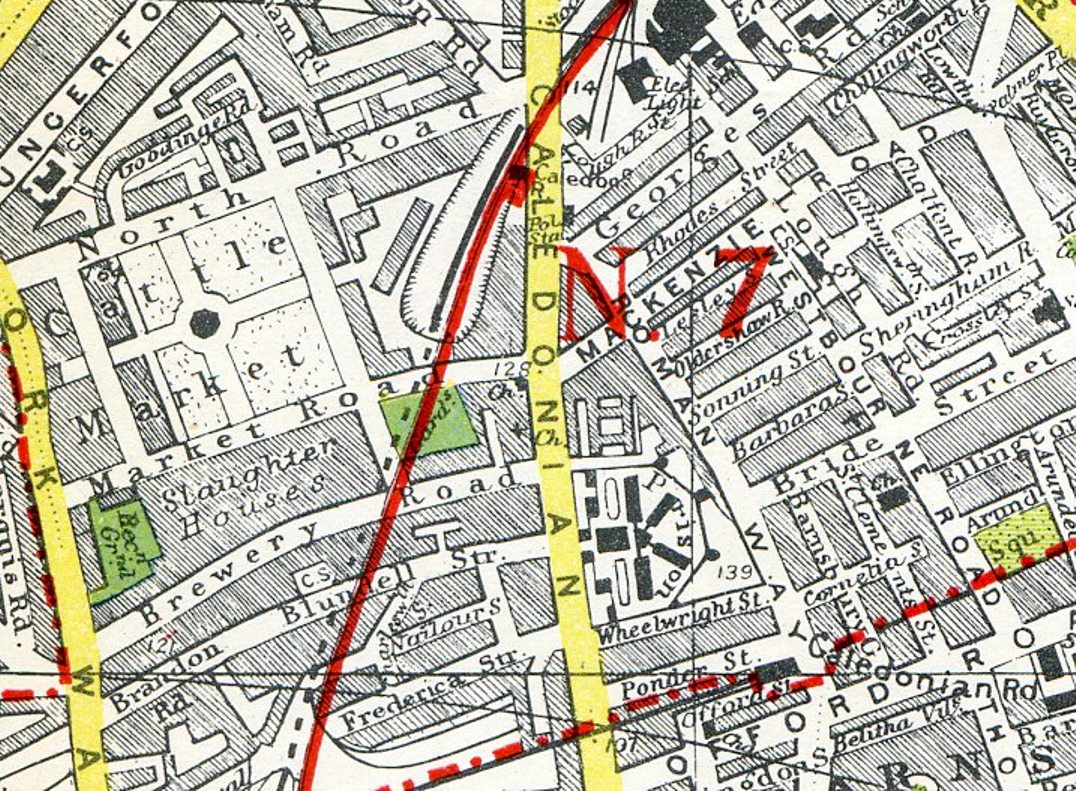
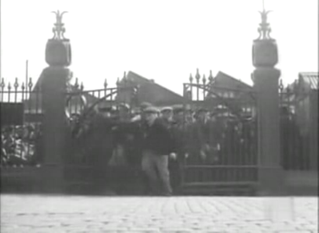
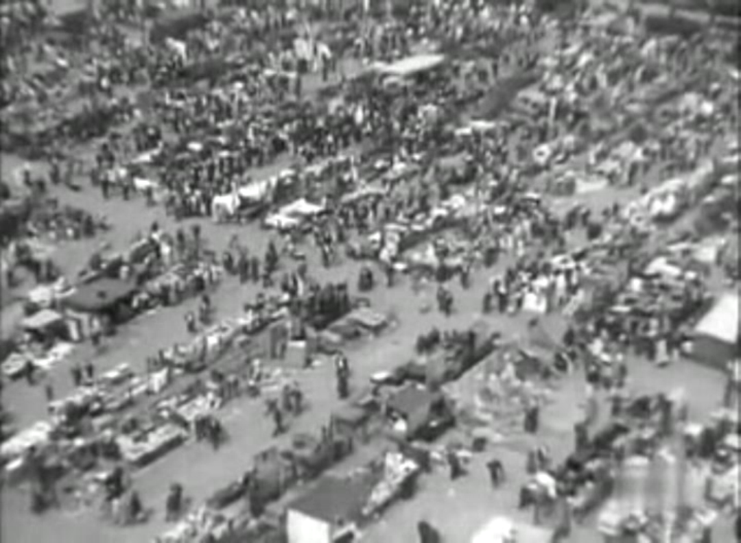
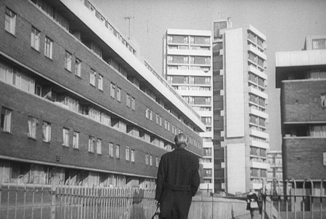
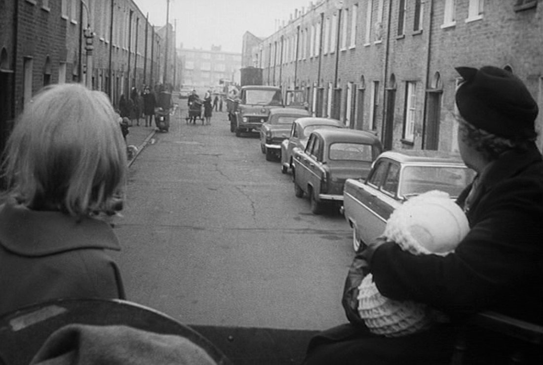
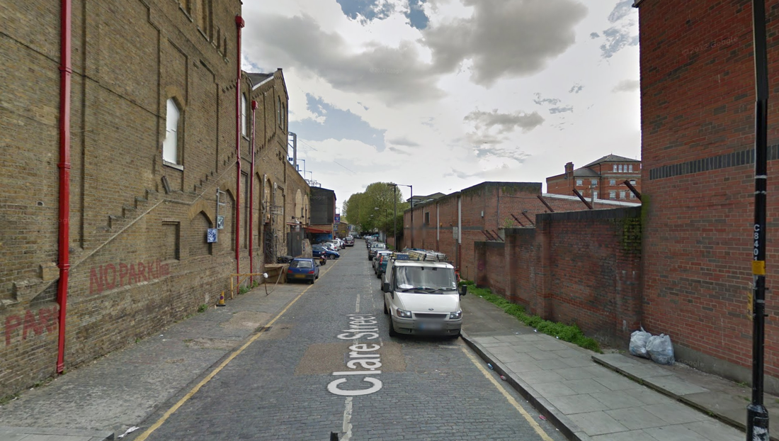
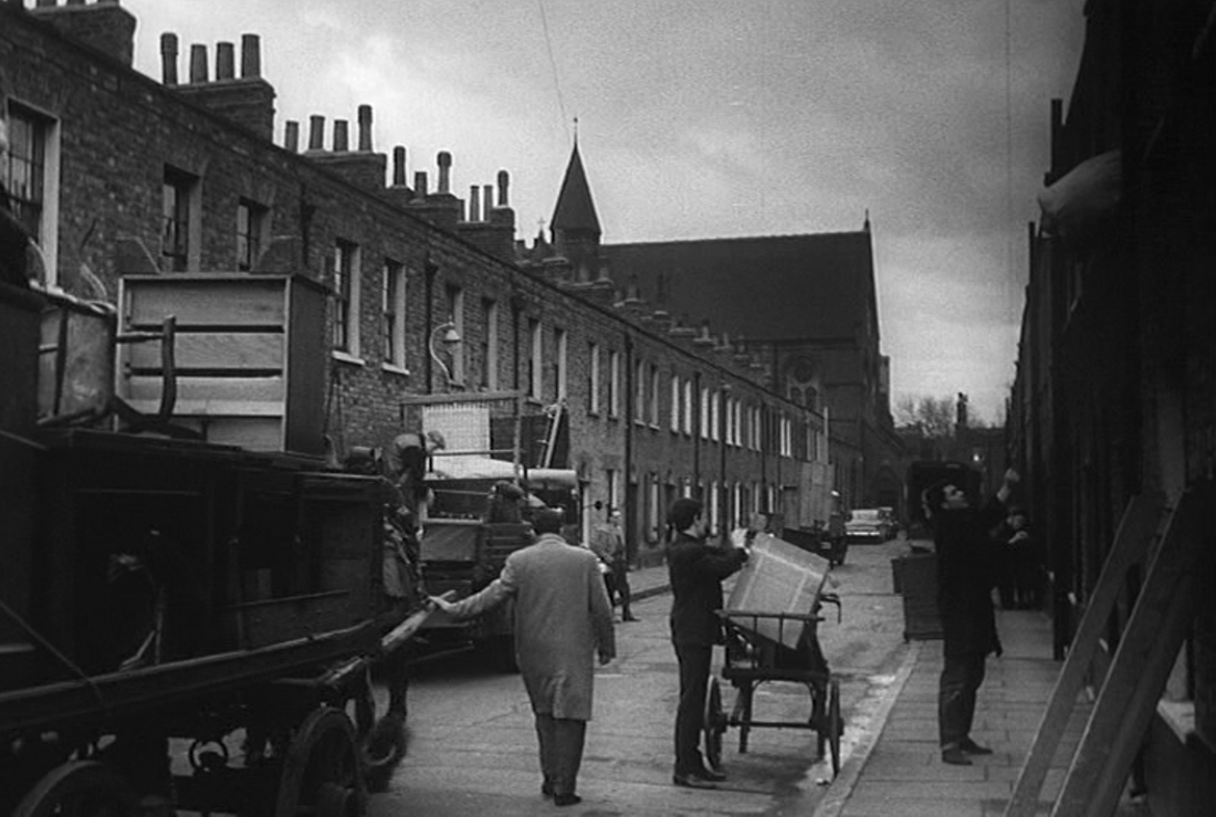
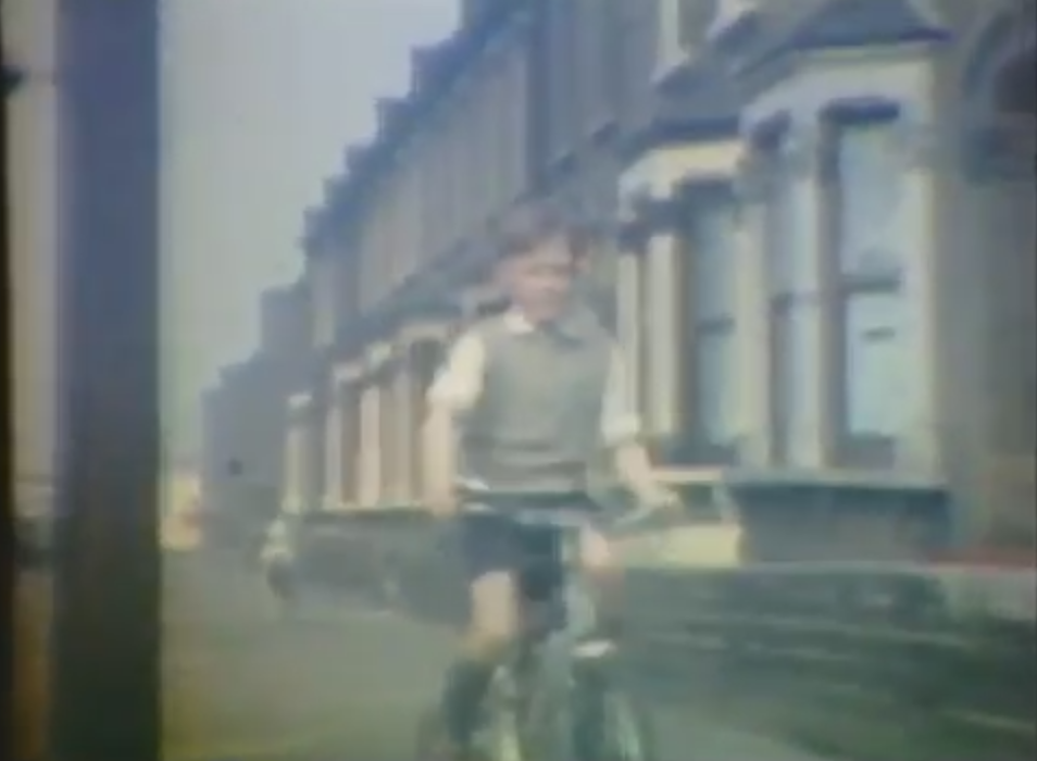
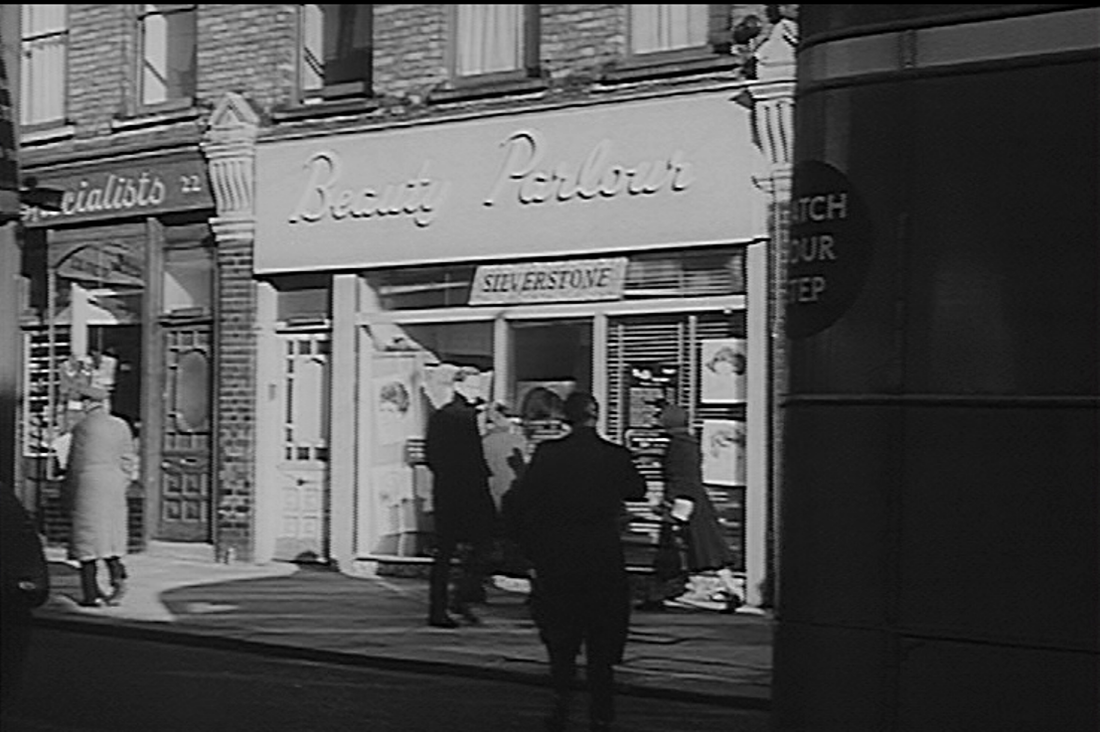
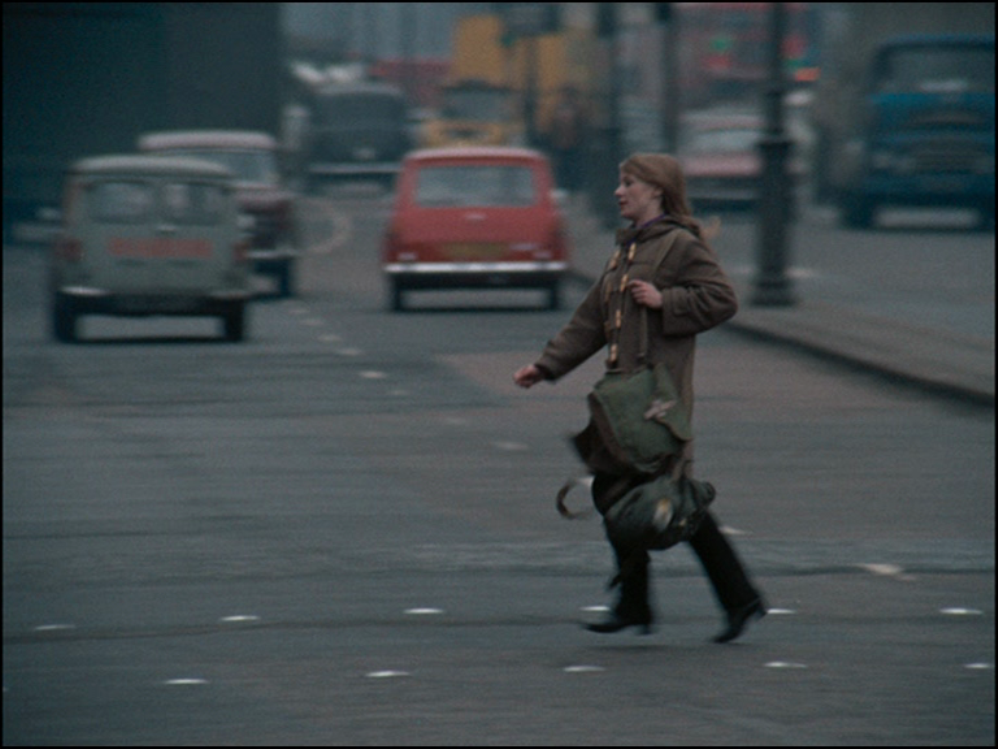
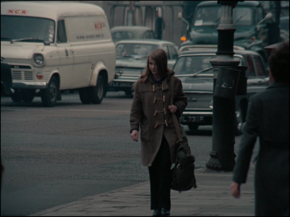
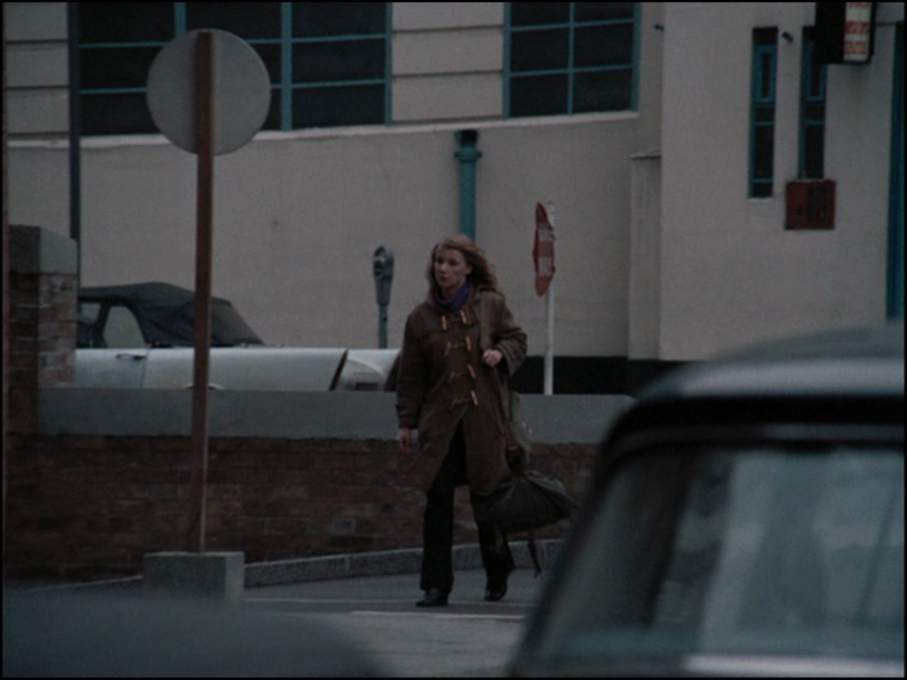
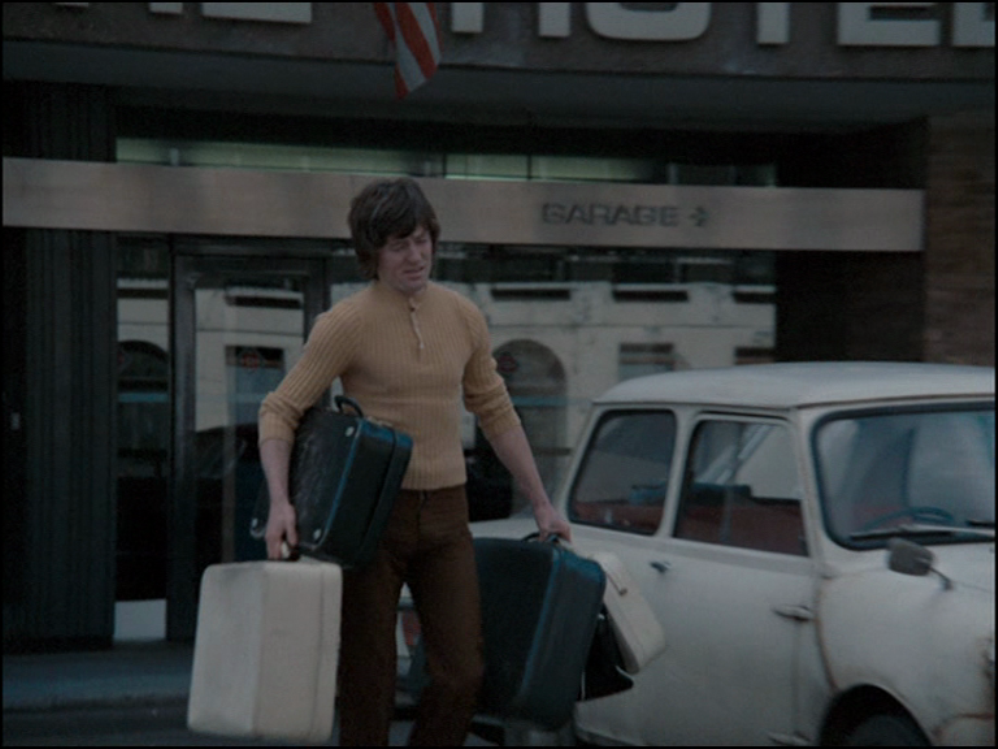
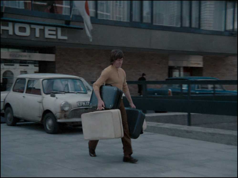
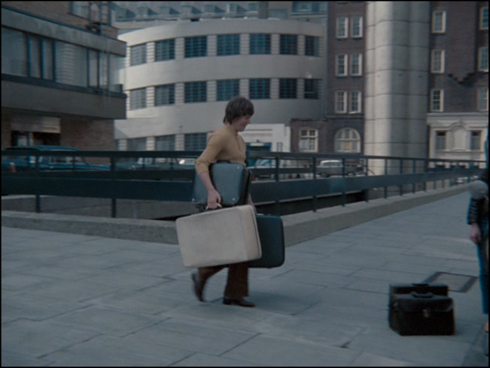
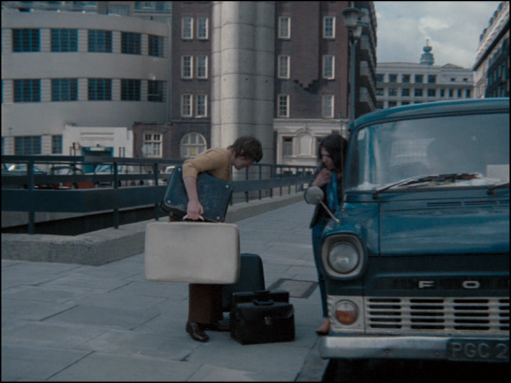
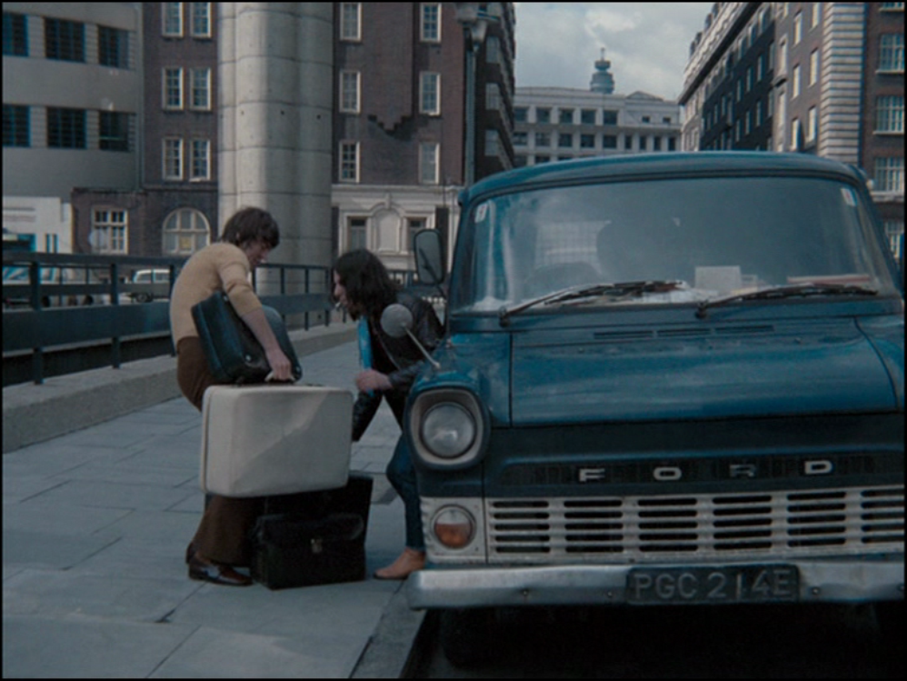
Other locations include Whitecross Street E.C.1 and a housing estate between York Way and Caledonian Road, N.1 (these locations are all documented on the Reel Streets site, here). We also see the Caledonian Road itself, a little further south than the Friday the Thirteenth location identified in an earlier post (here):
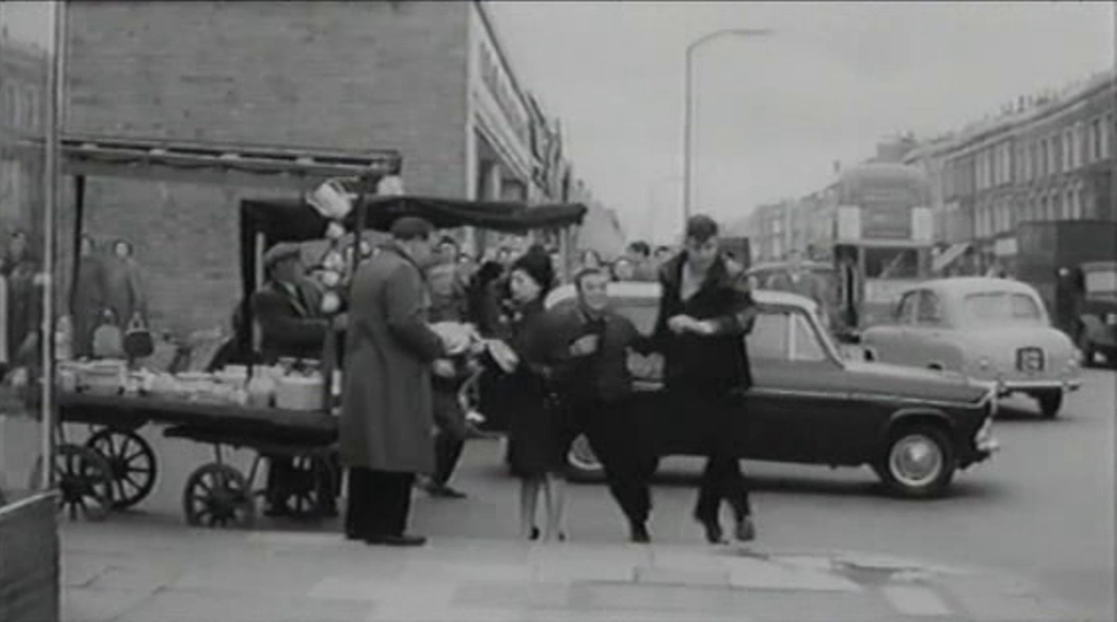
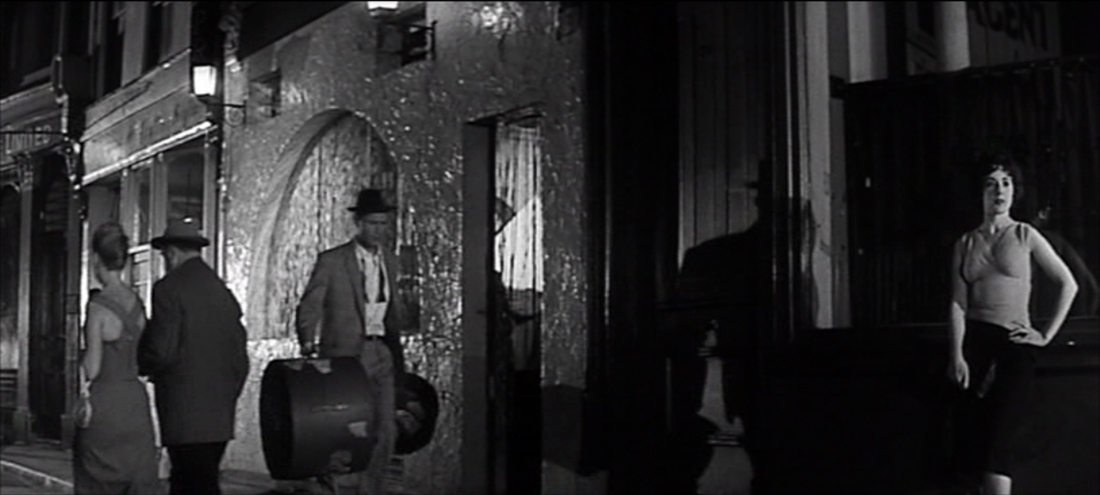
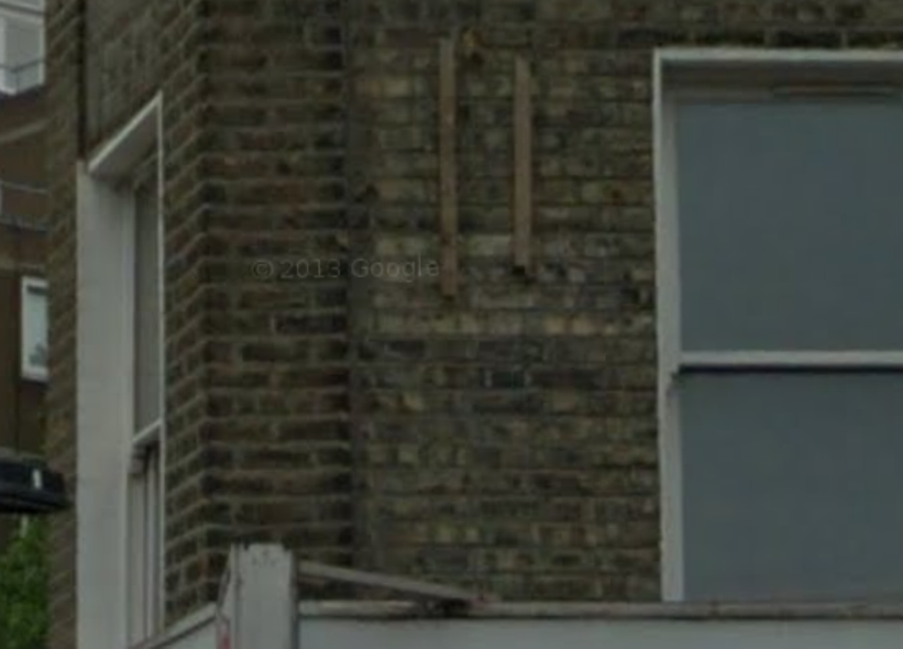
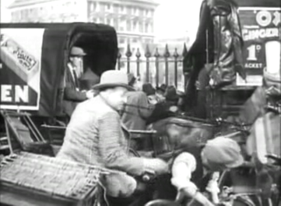
corner of Bingfield St and Caledonian Rd
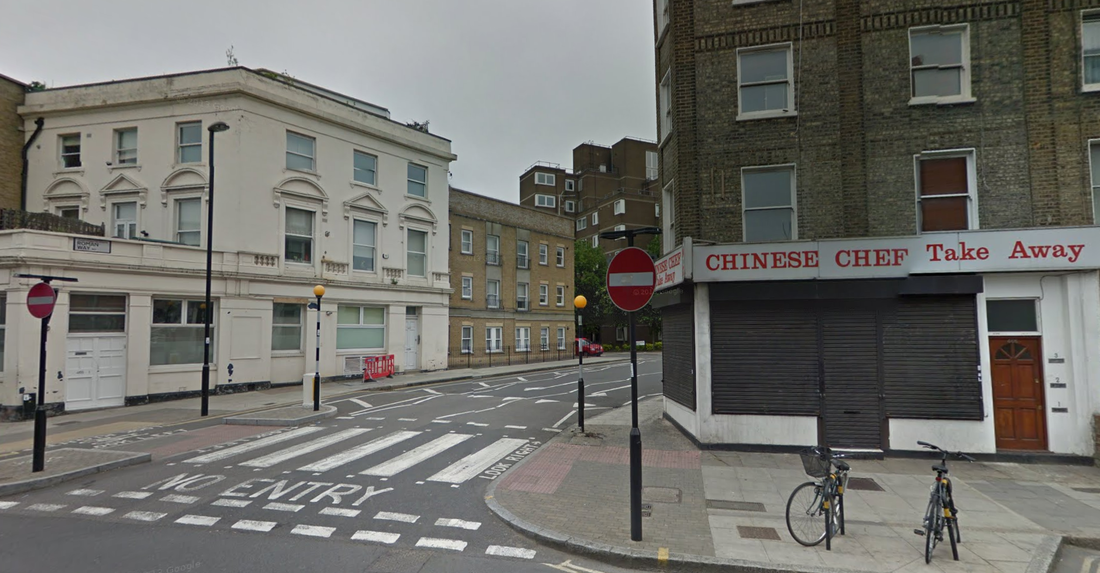
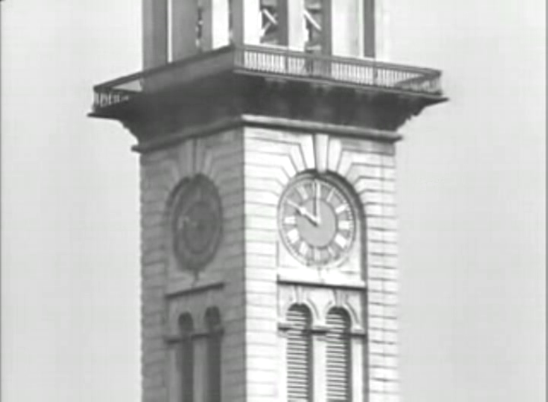
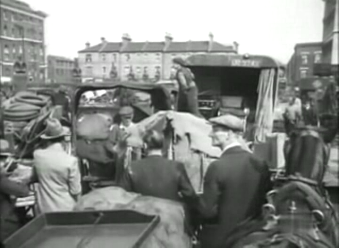
Caledonian Road Baths, at the corner of Stanmore St

