Mapping in A & H Research - workshops and symposium27 June 2017 |London |KCL + UCL
  • home
    • How to map a film, c.1905
  • London streets on screen
    • Senate House on screen
    • UCL on screen
    • London location links
    • the Locate the London Location game
    • conference programme >
      • conference participants
      • conference abstracts

Hereford Road, W.2 - Raising the Wind (Gerald Thomas 1961)

6/3/2014

0 Comments

 
Picture
Picture
Picture
Picture
Picture
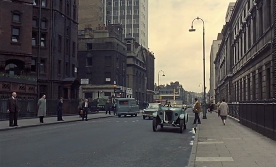
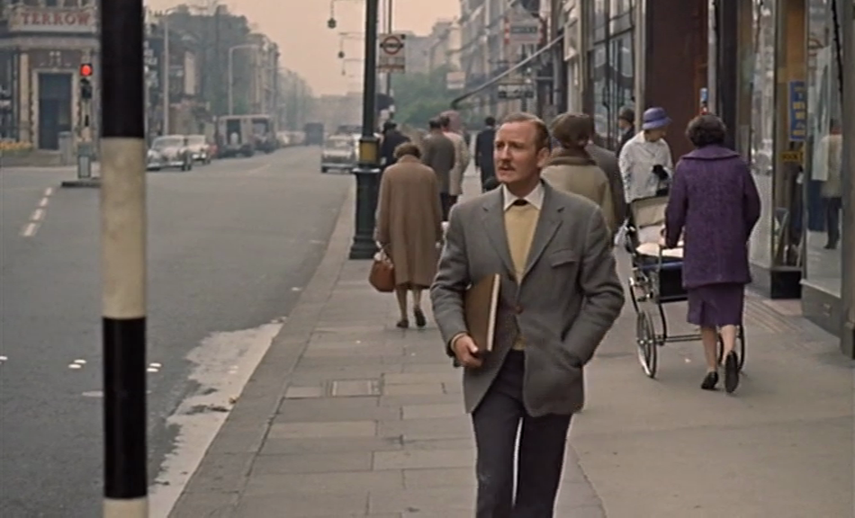
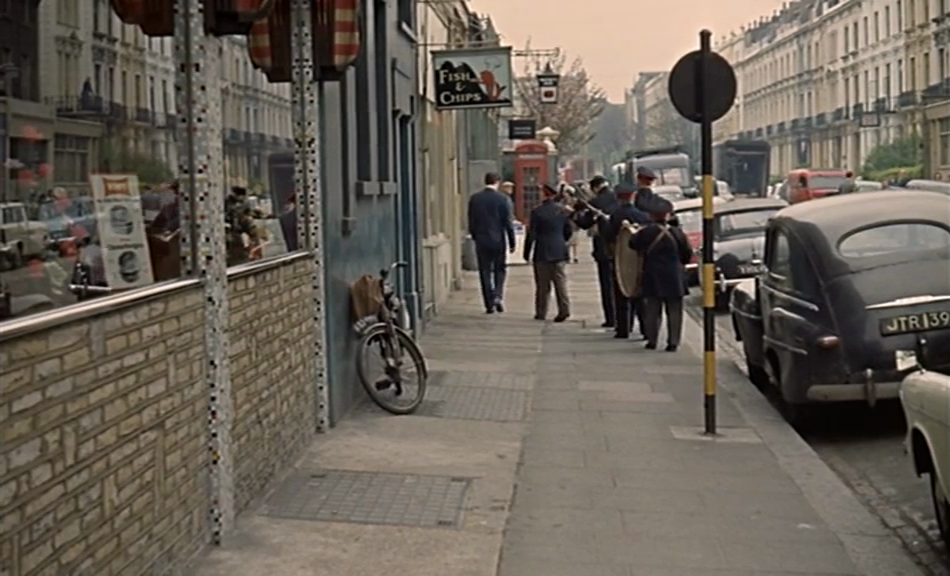
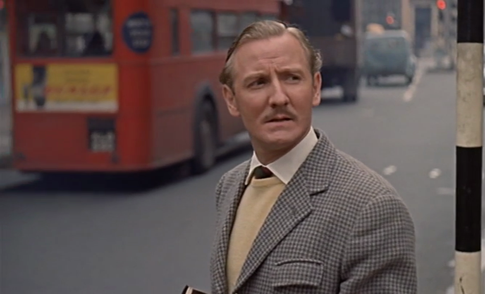
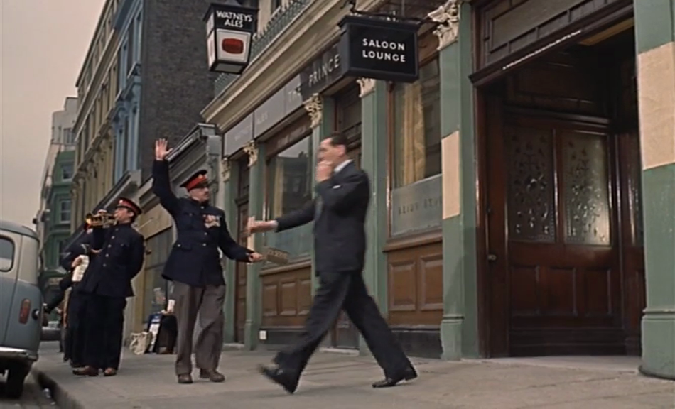
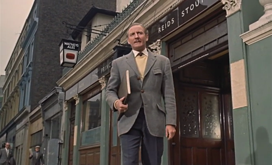
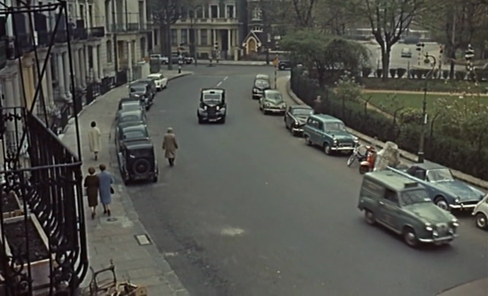
Leslie Phillips walks up Westbourne Grove towards Hereford Road, then follows a band into the Princess Royal pub, which is now the Commander, a porterhouse and oyster bar:
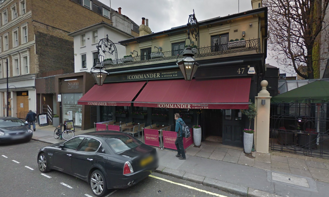
Picture
Google Street View
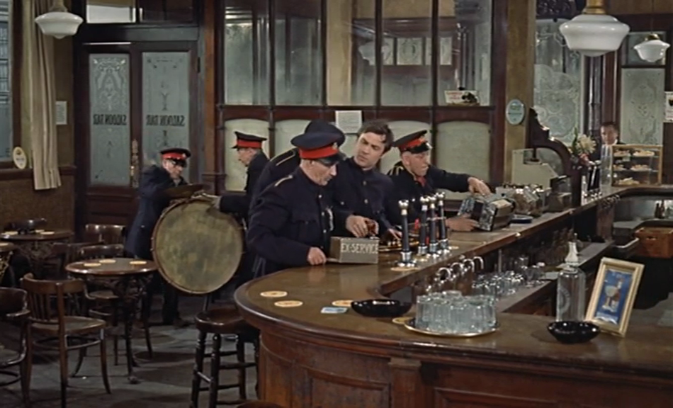
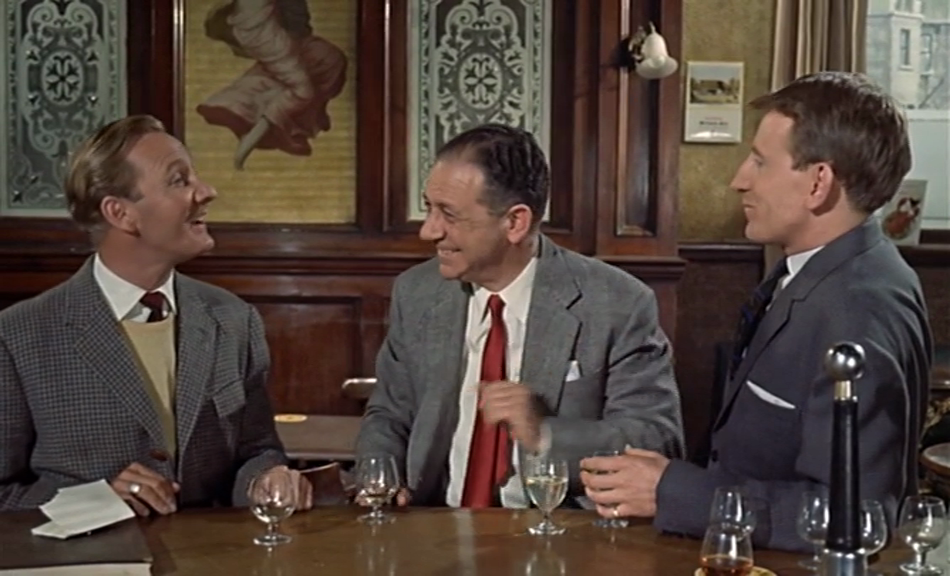
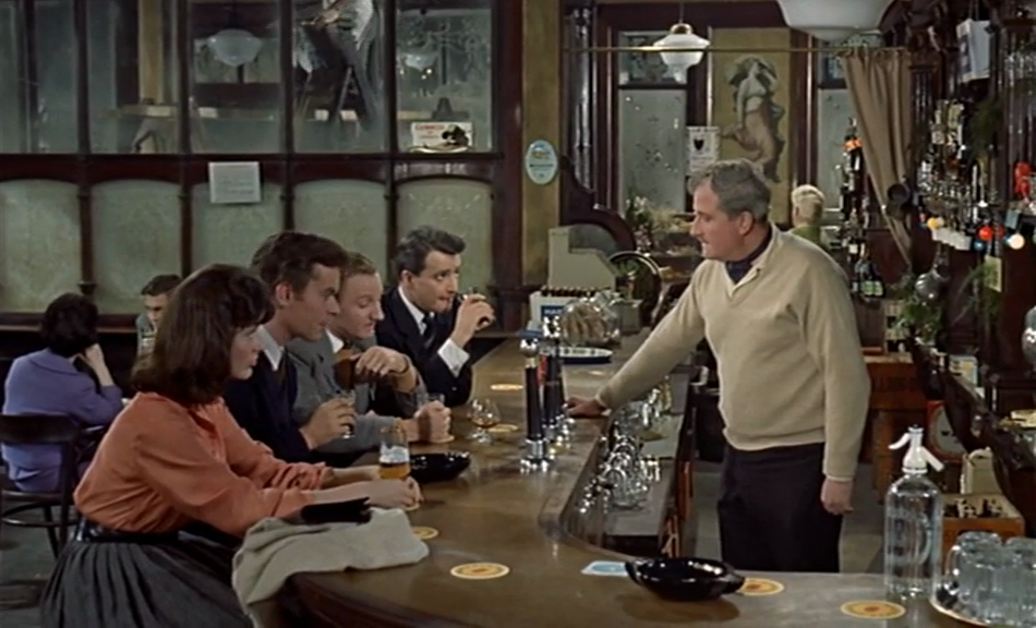
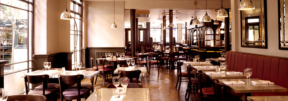
The exterior has changed, and if the pub interior we see in Raising the Wind is authentic, rather than a studio construction, that that too has changed somewhat:
Picture
Picture
Picture
Picture
Other locations of interest in the film are Royal Crescent, W.11:
Picture
Picture
Picture
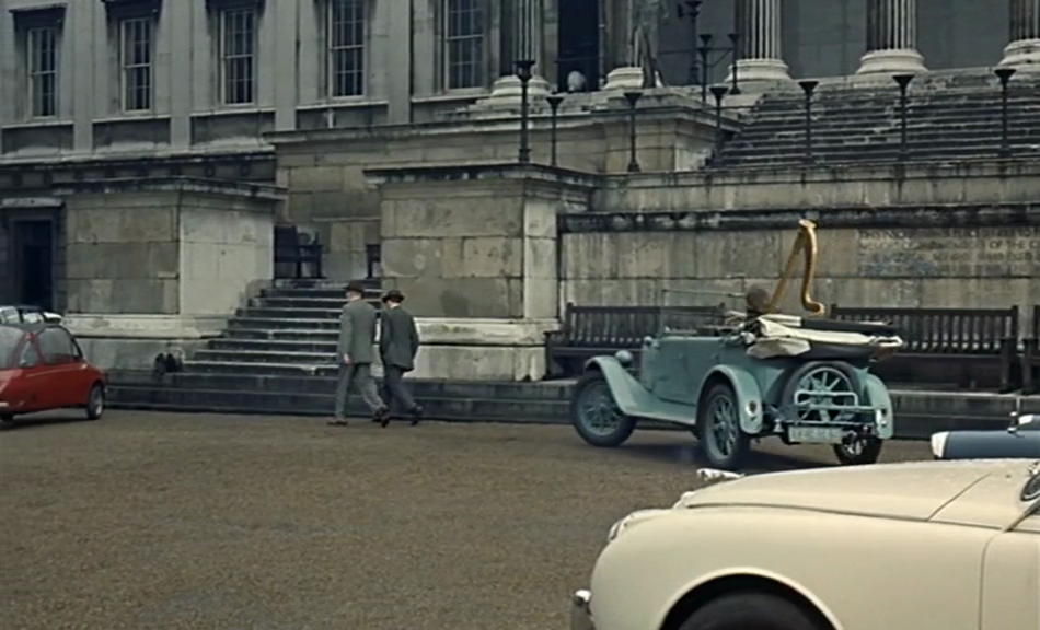
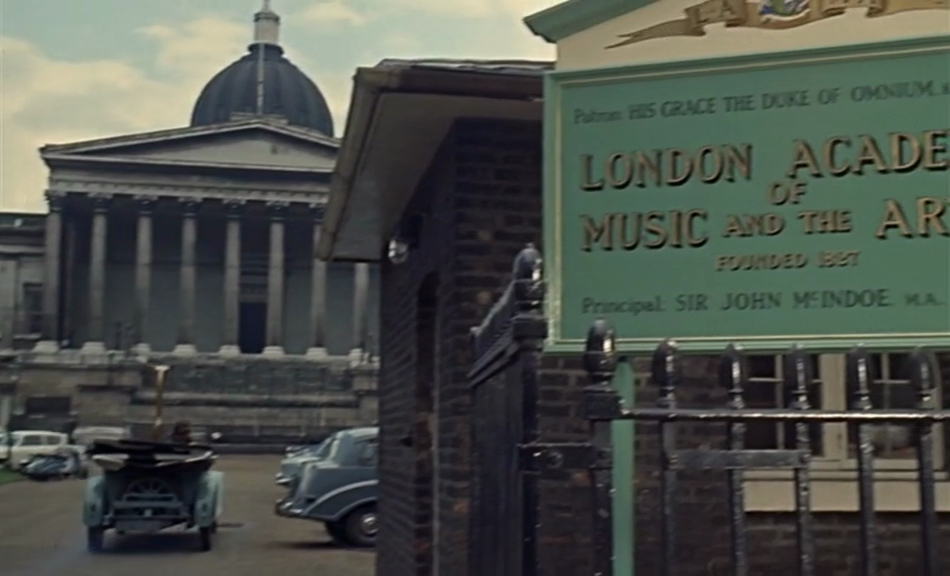
And of course University College London, on Gower Street, W.C.1:
Picture
Picture
Picture
Picture
0 Comments


Leave a Reply.

     a Google Map of the locations plotted:
    Picture


    every post

    a different street
    in a different film
Powered by Create your own unique website with customizable templates.