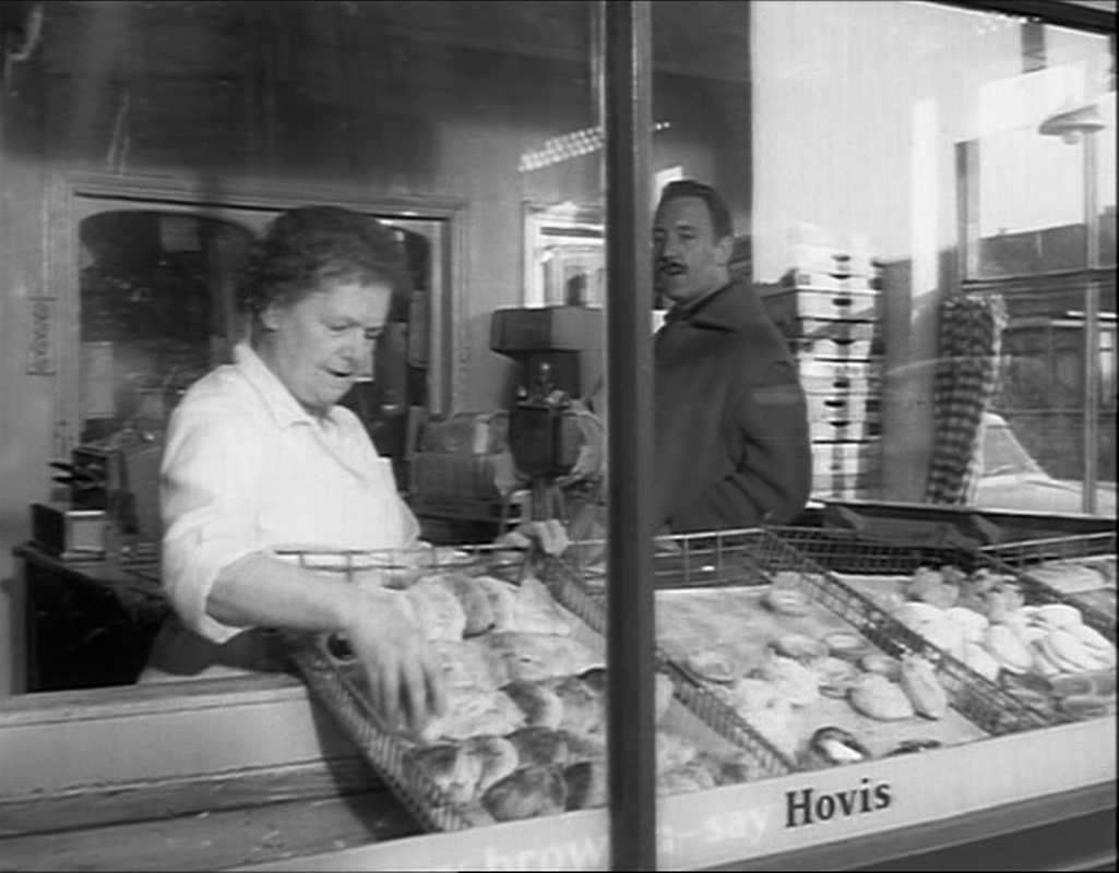
On his way to visit his girlfriend, Arthur buys bread at a baker's on the corner of Mellish Street. The film conveniently allows us to see the street sign and locate this sequence on the Isle of Dogs:
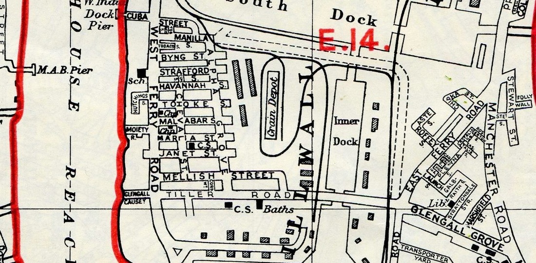
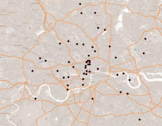
Looking at the map we see that there are four possible junctions that this might correspond to; looking at the Isle of Dogs now doesn't really help in identifying the exact place, since almost everything has been knocked down and built over. One clue is the bus stop behind Arthur, which suggests that this is the junction with West Ferry Road, along which buses ran. (Mellish Street has no junction now with West Ferry Road because flats have been built across it.)
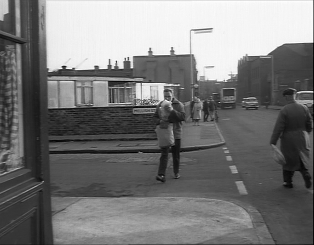
A bus stop could be faked, of course, as I suspect is this one, on Mellish Street in The Sandwich Man (1966), also by Robert Hartford-Davis:
A bus stop could be faked, of course, as I suspect is this one, on Mellish Street in The Sandwich Man (1966), also by Robert Hartford-Davis:
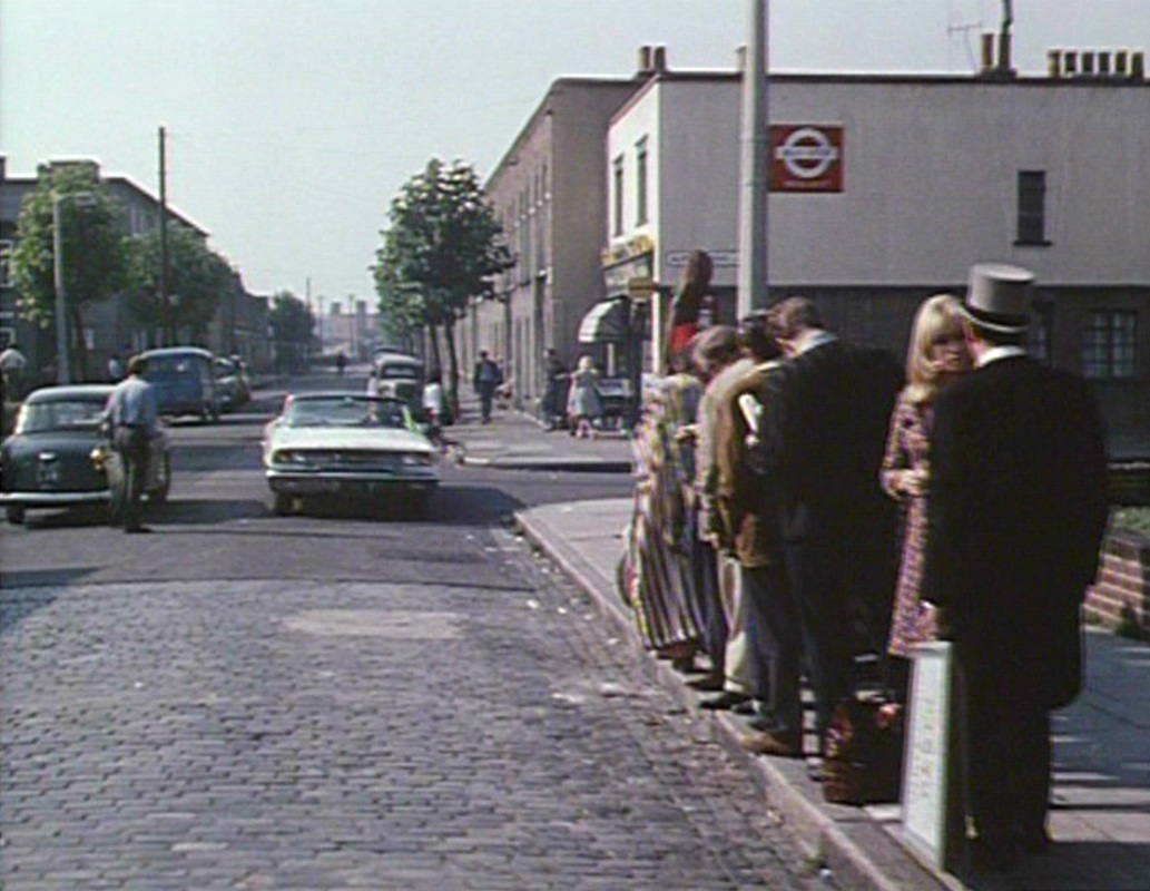
This is the corner of Mellish Steet and Alpha Grove. See here for 'Then and Now' footage of the location, using The Sandwich Man.
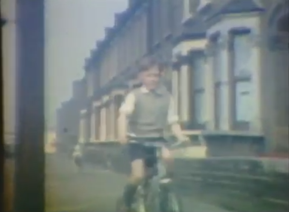
Though it provides no clue regarding Mellish Street as a film location, George Charnley's home movie footage of the area is charming:
Though it provides no clue regarding Mellish Street as a film location, George Charnley's home movie footage of the area is charming: