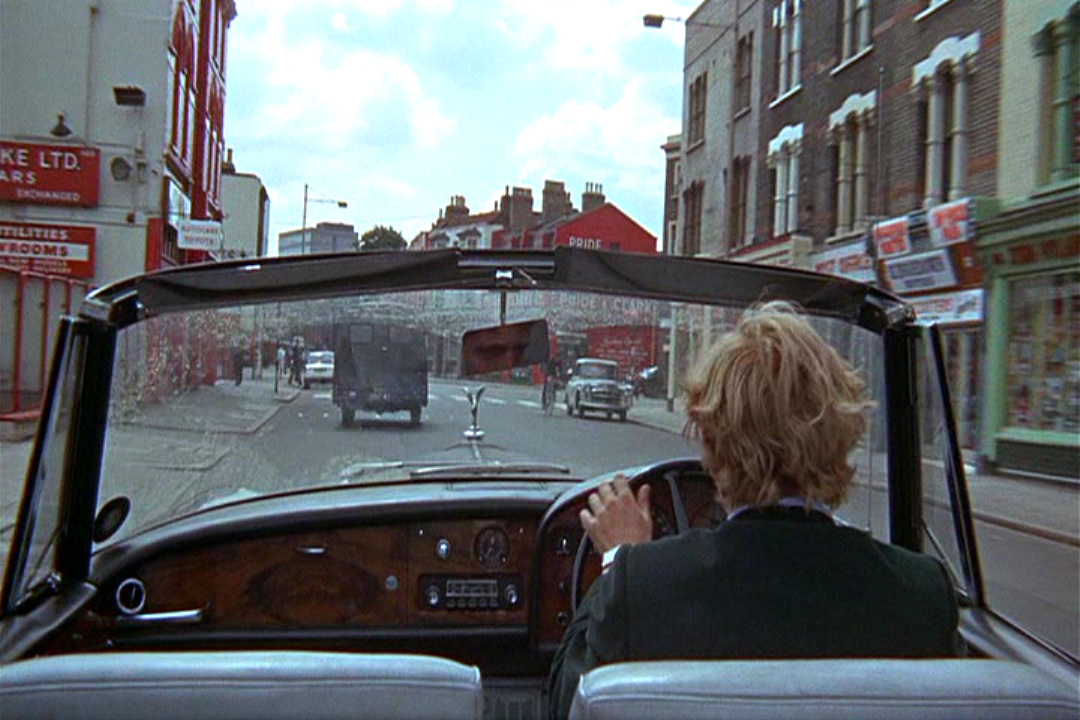
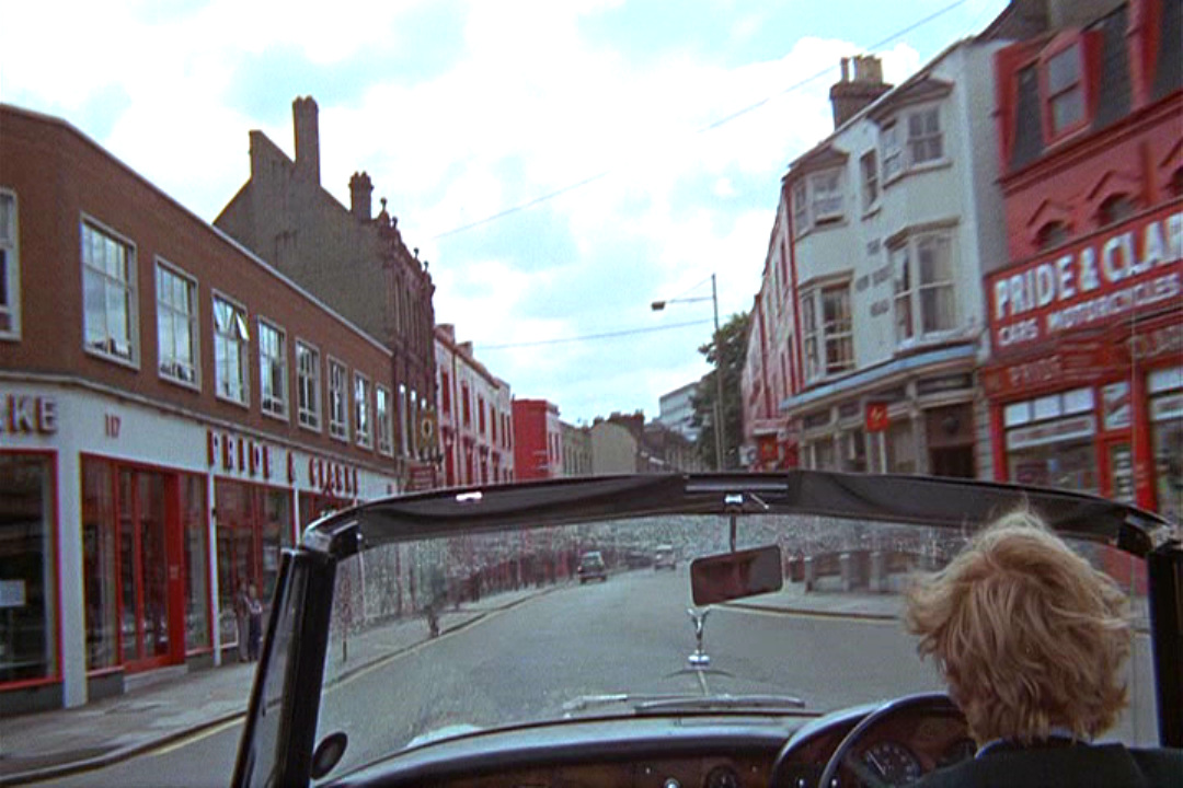
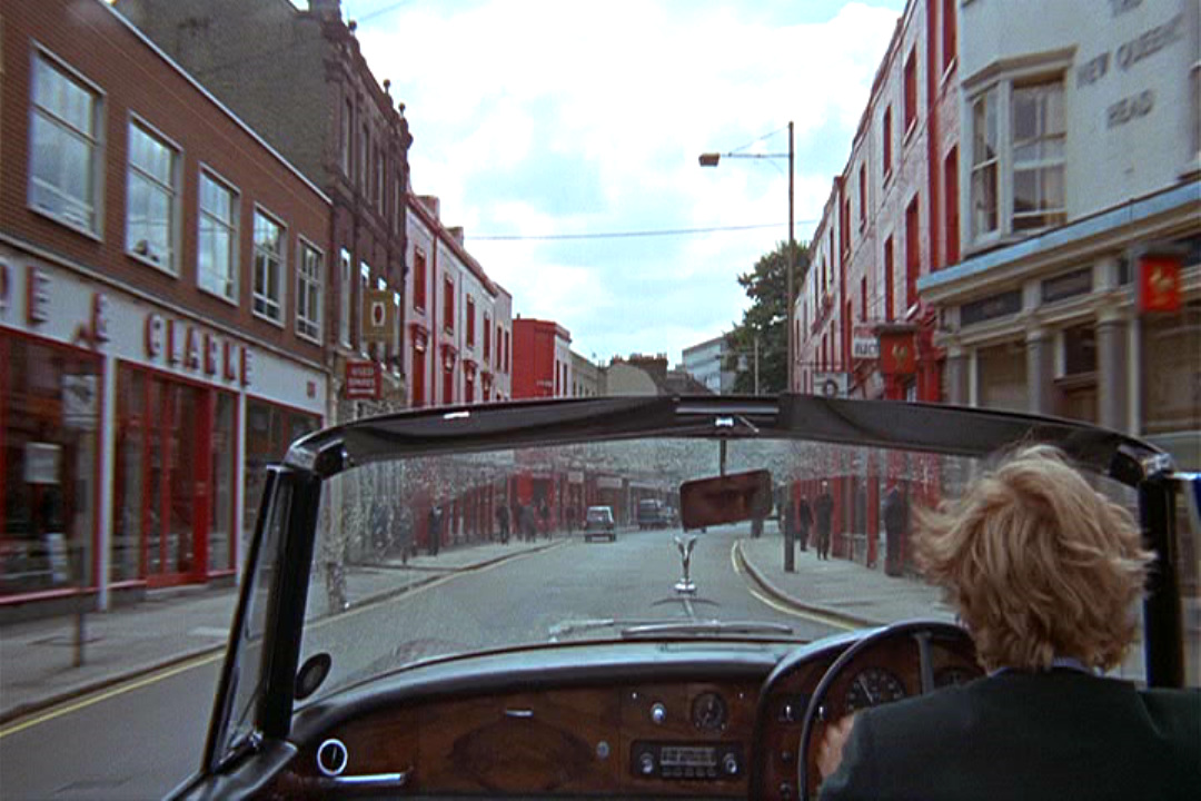
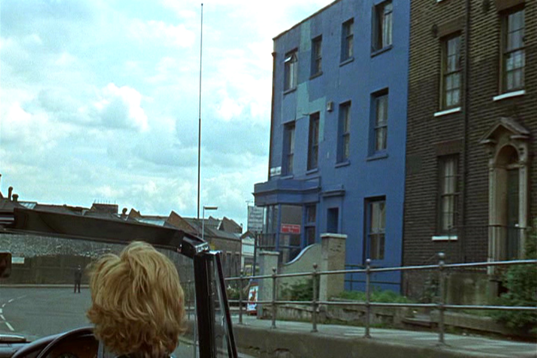
The myth still persists that these buildings on the Stockwell Road were painted red for Blowup, but they weren't. This was a patch of colour appropriated for the film, found there and not manipulated, as was also the blue-painted building shown immediately after, on the corner of Woolwich Road and Tamar Street, S.E.7:
Here, from the Reel Streets site, are the images of Stockwell Road, with Mark Malvee's 'now' photographs:
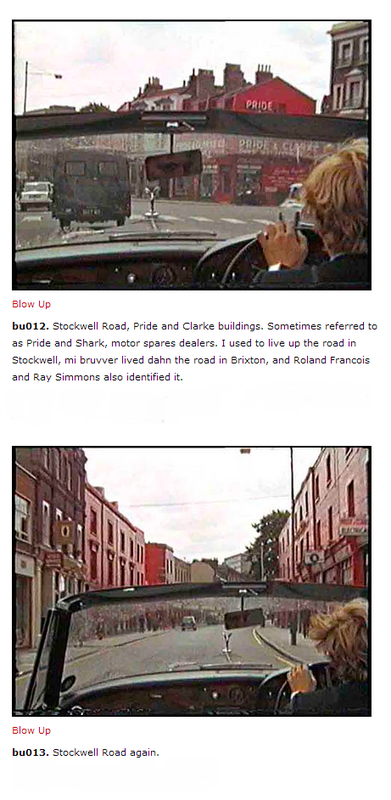 |  photograph: Mark Malvee 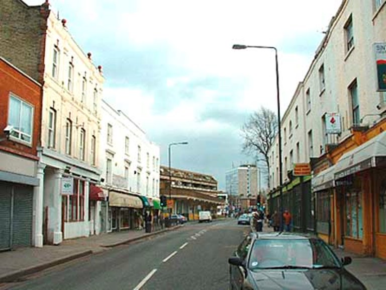 photograph: Mark Malvee |
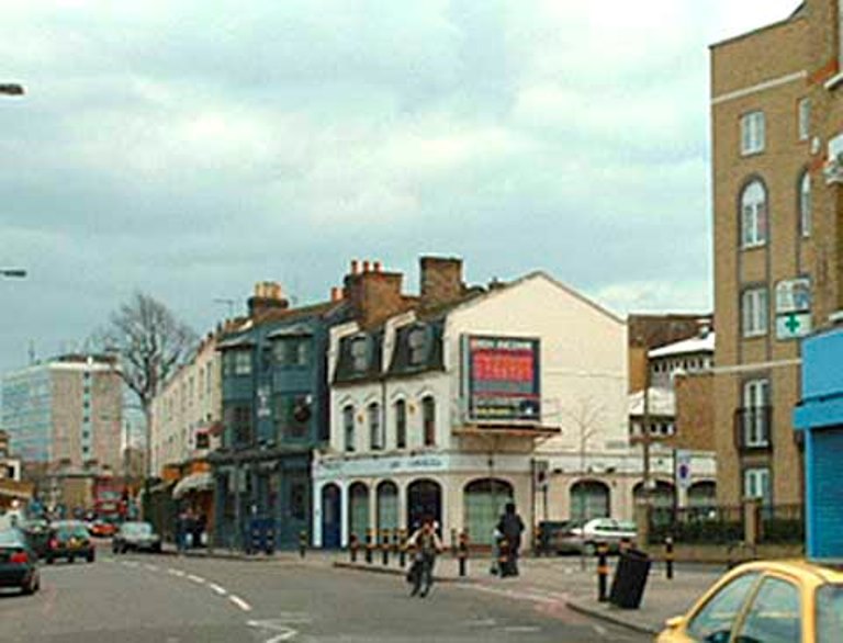
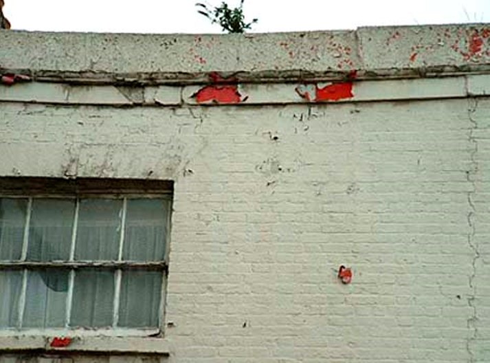
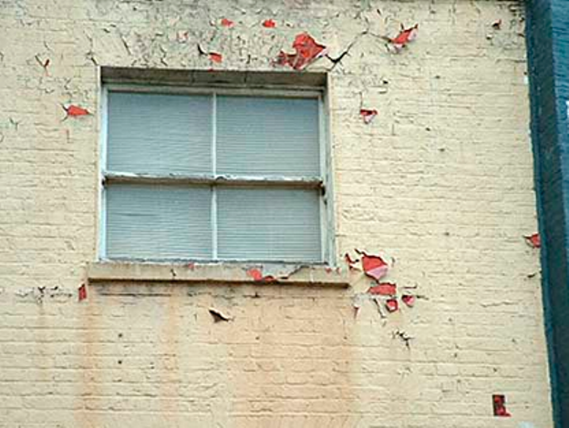
Ant these are Mark Malvee's photographs of peeling paintwork, revealing the colour c.66:
photograph: Mark Malvee
photograph: Mark Malvee
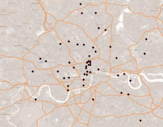
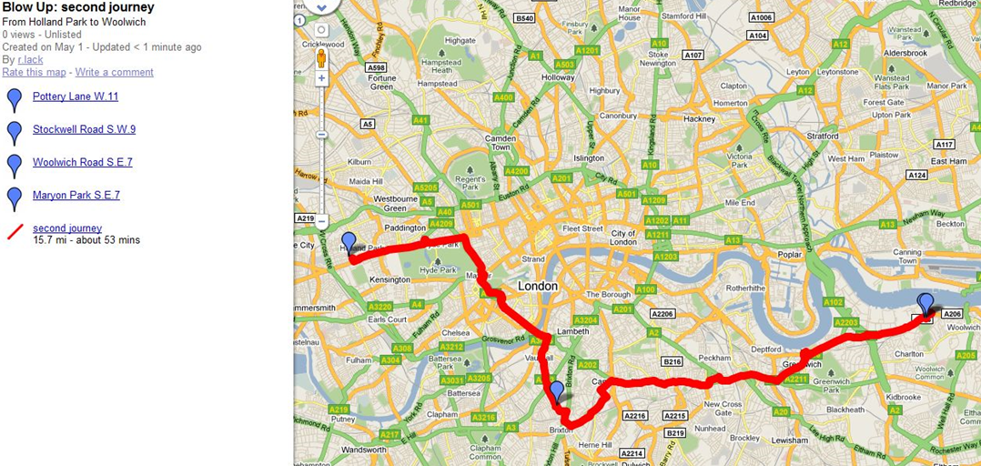
This is a map of the film's journey from Holland Park to Maryon Park via Stockwell Road and Woolwich Road:
For a complete identification of the Blowup locations, and a great deal more, go to the wonderful Blowup Then and Now site: